
Related Images


Download:
| Tiny | 164x128 | View | Download |
| Small | 329x256 | View | Download |
| Medium | 659x512 | View | Download |
| Large | 1318x1024 | View | Download |
| Original | 2400x1864 | View | Download |
This image was acquired from
wikimedia. It was marked as Public Domain or CC0 and is free to use. To verify, go to the source and check the information there.
Looking for more info about this image?
Try a Google Reverse Image Search for it.
Try a Google Reverse Image Search for it.
Keywords from Image Description:
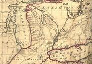
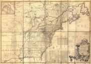
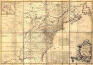
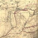
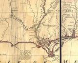
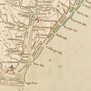
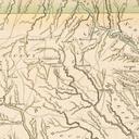
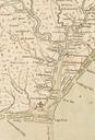
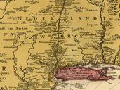
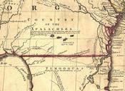
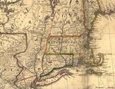
Mitchell Mapexcerpt. part of the Mitchell Map map of the British and French dominions in North America Excerpt showing part of New England centered on Massachusetts Connecticut and Rhode Island LOCmap ar John Mitchell digital version Library of Congress Geography and Map Division Mitchell Mapfull PDold Mitchell Map Old maps