
Related Images


Download:
| Tiny | 159x128 | View | Download |
| Small | 319x256 | View | Download |
| Medium | 638x512 | View | Download |
| Large | 1276x1024 | View | Download |
| Original | 1801x1445 | View | Download |
This image was acquired from
wikimedia. It was marked as Public Domain or CC0 and is free to use. To verify, go to the source and check the information there.
Looking for more info about this image?
Try a Google Reverse Image Search for it.
Try a Google Reverse Image Search for it.
Keywords from Image Description:
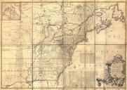
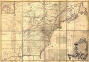
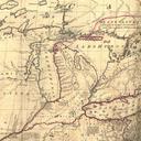
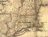
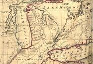
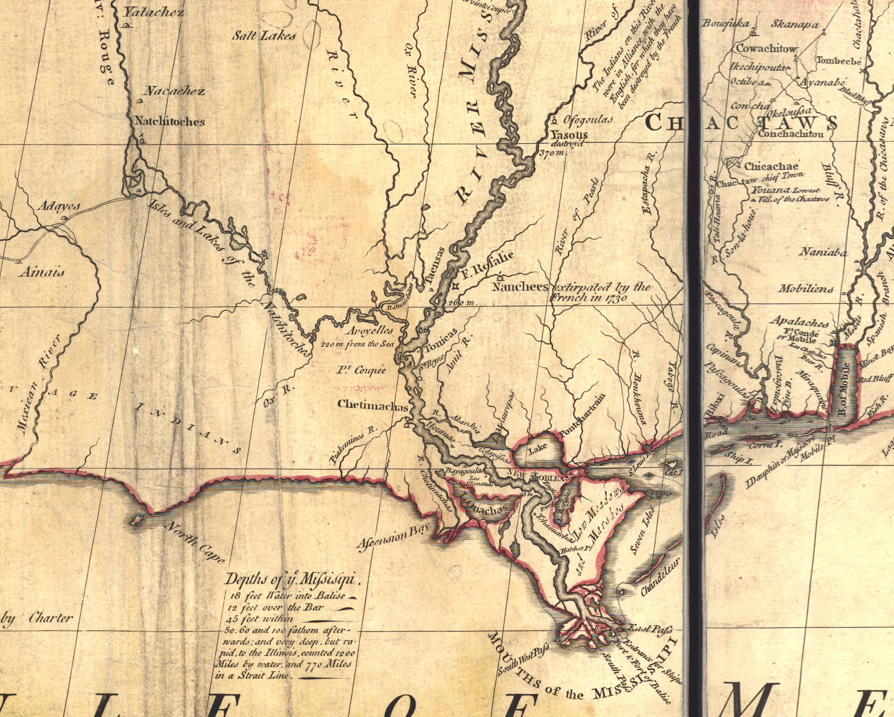
Mitchell MapLouisiana s. Mitchell Map map of the British and French dominions in North America Cropped version showing southern Louisiana area around New Orleans the mouths of the Mississippi Note since lost wetlands to south east of Lake Borgne Pointe la Hache is indicated as Hatchet Point loc gov gmd ar Library of Congress