
Related Images


Download:
| Tiny | 144x128 | View | Download |
| Small | 288x256 | View | Download |
| Medium | 576x512 | View | Download |
| Original png | 1028x913 | View | Download |
| Original as jpg | 1028x913 | View | Download |
This image was acquired from
wikimedia. It was marked as Public Domain or CC0 and is free to use. To verify, go to the source and check the information there.
Looking for more info about this image?
Try a Google Reverse Image Search for it.
Try a Google Reverse Image Search for it.
Keywords from Image Description:
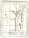
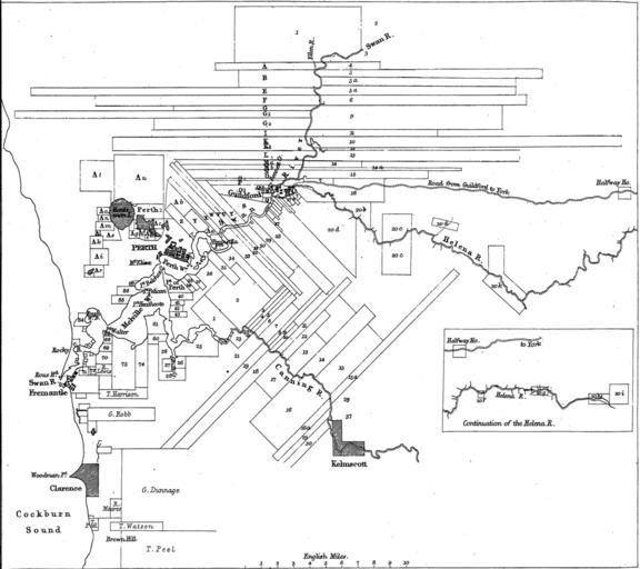
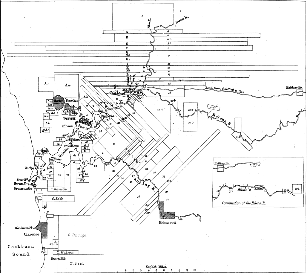
Swan River Colony land grants map. This is map of the land grants around the Swan River Western Australia in The map was drawn by John Arrowsmith from the survey data of John Septimus Roe This version is slight adaption of the original that appeared in Nathaniel Ogle's publication The Colony of Western Australia The image was scanned