Related Images


Download:
| Tiny | 147x128 | View | Download |
| Small | 295x256 | View | Download |
| Medium | 590x512 | View | Download |
| Large | 1180x1024 | View | Download |
| Original | 5000x4337 | View | Download |
This image was acquired from
wikimedia. It was marked as Public Domain or CC0 and is free to use. To verify, go to the source and check the information there.
Looking for more info about this image?
Try a Google Reverse Image Search for it.
Try a Google Reverse Image Search for it.
Keywords from Image Description:
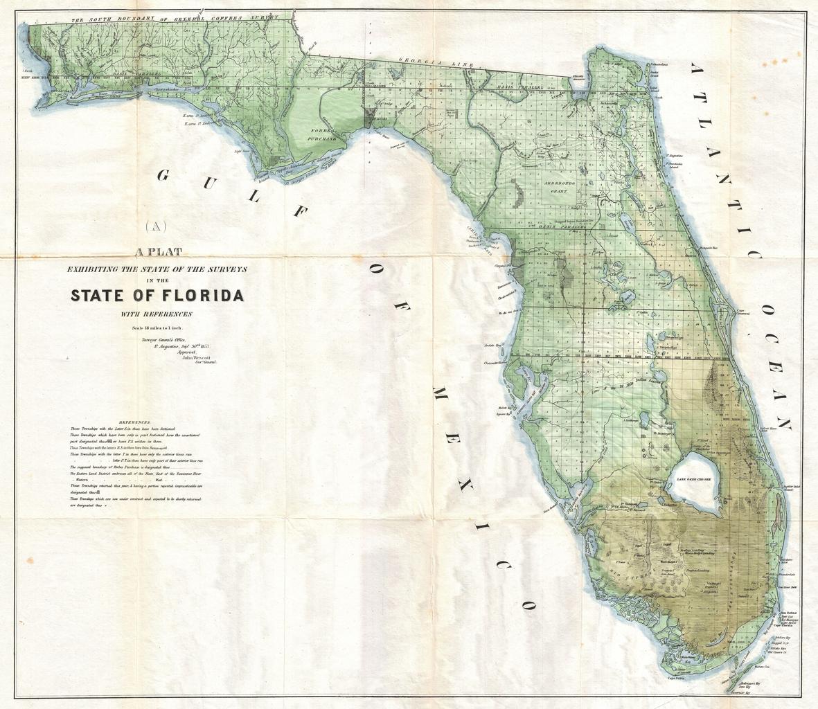
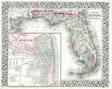
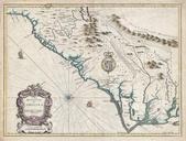
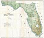
Land Office Plat Map of Florida Geographicus Floridalandoffice. An exceptional example of the Land Survey Map of Florida This map represents the state of the Land Survey in Florida as of September Shows the state divided into several hundred numbered plats some of which are marked with an to state that they had been fully surveyed