
Related Images

Download:
| Tiny | 117x128 | View | Download |
| Small | 235x256 | View | Download |
| Medium | 470x512 | View | Download |
| Large | 941x1024 | View | Download |
| Original | 4597x5000 | View | Download |
This image was acquired from
wikimedia. It was marked as Public Domain or CC0 and is free to use. To verify, go to the source and check the information there.
Looking for more info about this image?
Try a Google Reverse Image Search for it.
Try a Google Reverse Image Search for it.
Keywords from Image Description:
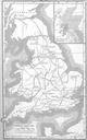
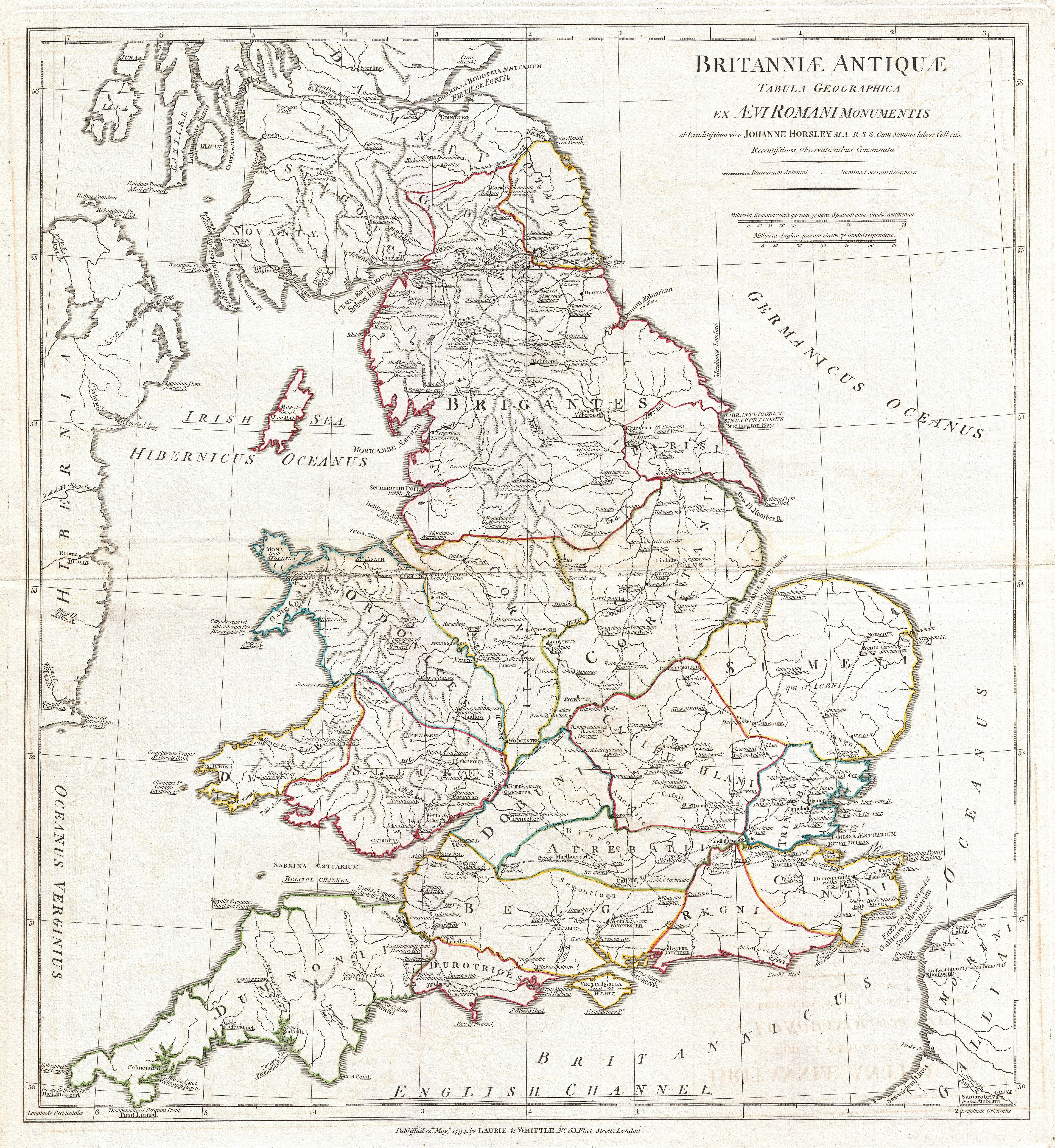
Anville Map of England in ancient Roman times. Geographicus Englandhorsley. large and dramatic map of England under Roman Rule Covers all of England Province of Britanniae as well as adjacent parts of Scotland Ireland Hibernia and France Gallia Features both ancient and contemporary place names ie Londinium and London for each