
Related Images


Download:
| Tiny | 154x128 | View | Download |
| Small | 309x256 | View | Download |
| Medium | 619x512 | View | Download |
| Large | 1238x1024 | View | Download |
| Original | 9010x7447 | View | Download |
This image was acquired from
wikimedia. It was marked as Public Domain or CC0 and is free to use. To verify, go to the source and check the information there.
Looking for more info about this image?
Try a Google Reverse Image Search for it.
Try a Google Reverse Image Search for it.
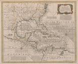
Keywords from Image Description:
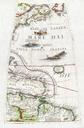
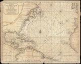
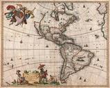
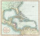
Map of the West Indies with the Adjacent Coasts of North and South America Bowen. LargeImage en Map of the West Indies with the Adjacent Coasts of North and South America Bowen unt edu caribbean Bowen Emanuel PDold Old maps of the Caribbean