
Related Images


Download:
| Tiny | 143x128 | View | Download |
| Small | 286x256 | View | Download |
| Medium | 573x512 | View | Download |
| Large | 1146x1024 | View | Download |
| Original | 5000x4465 | View | Download |
This image was acquired from
wikimedia. It was marked as Public Domain or CC0 and is free to use. To verify, go to the source and check the information there.
Looking for more info about this image?
Try a Google Reverse Image Search for it.
Try a Google Reverse Image Search for it.
Keywords from Image Description:
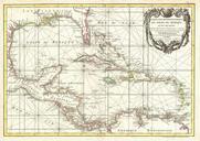
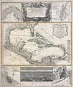
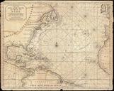
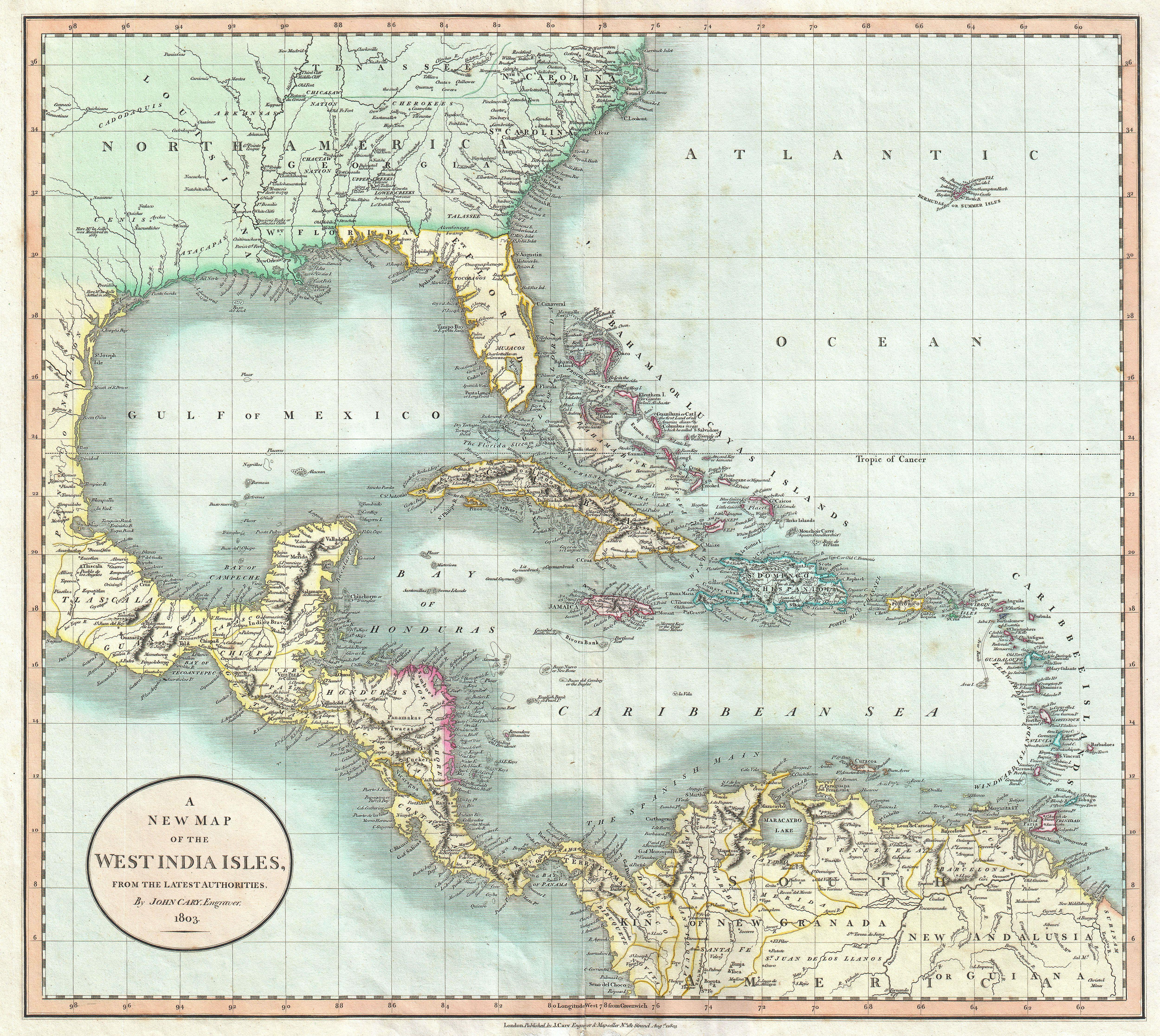
Cary Map of Florida Central America the Bahamas and the West Indies Geographicus WestIndiescary. beautiful example of John Cary important map of Florida Central America and the West Indies Covers from Texas called Cenis eastward to the Carolinas and the Bahamas and then southward past Florida and the West Indies to include all