
Related Images

Download:
| Tiny | 193x128 | View | Download |
| Small | 387x256 | View | Download |
| Medium | 775x512 | View | Download |
| Large | 1551x1024 | View | Download |
| Original | 6000x3961 | View | Download |
This image was acquired from
wikimedia. It was marked as Public Domain or CC0 and is free to use. To verify, go to the source and check the information there.
Looking for more info about this image?
Try a Google Reverse Image Search for it.
Try a Google Reverse Image Search for it.
Keywords from Image Description:
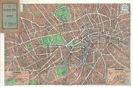
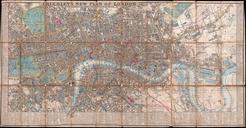
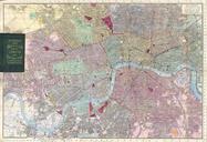
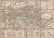
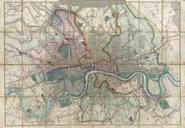
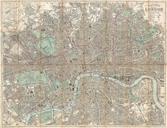
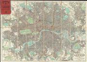
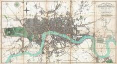
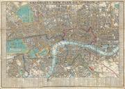
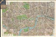
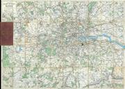
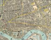
Reynolds Pocket Map of London England Geographicus Londonreynolds. pristine example of James Reynolds pocket map of London England Covers the center of London from Notting Hill to the Isle of Dogs and from Kentish Town to Battersea Park Details every street parks train station bridge monument pier and government building Tourist