
Related Images

Download:
| Tiny | 142x128 | View | Download |
| Small | 285x256 | View | Download |
| Medium | 570x512 | View | Download |
| Large | 1140x1024 | View | Download |
| Original | 5000x4488 | View | Download |
This image was acquired from
wikimedia. It was marked as Public Domain or CC0 and is free to use. To verify, go to the source and check the information there.
Looking for more info about this image?
Try a Google Reverse Image Search for it.
Try a Google Reverse Image Search for it.
Keywords from Image Description:
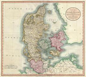
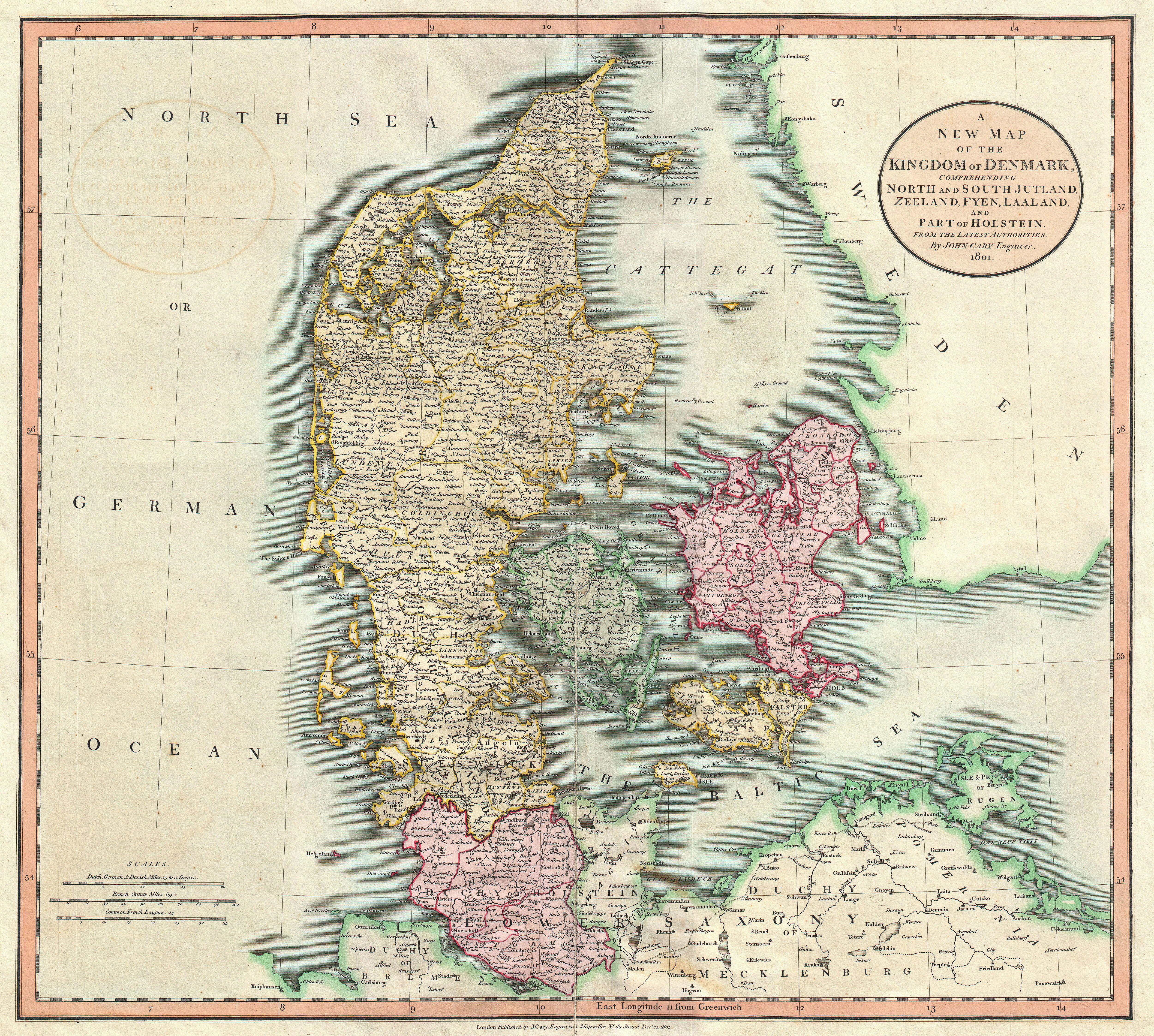
Cary Map of Denmark Geographicus Denmarkcary. An extremely attractive example of John Cary map of Denmark Covers all of Jutland and the islands of Zeeland Fyen Laaland Also includes most of the Duchy of Holstein and parts of Lower Saxony and Pomerania Offers stupendous detail and color coding according to region All in all one