Related Images

Download:
| Tiny | 72x128 | View | Download |
| Small | 145x256 | View | Download |
| Medium | 290x512 | View | Download |
| Large | 580x1024 | View | Download |
| Original | 3400x6000 | View | Download |
This image was acquired from
wikimedia. It was marked as Public Domain or CC0 and is free to use. To verify, go to the source and check the information there.
Looking for more info about this image?
Try a Google Reverse Image Search for it.
Try a Google Reverse Image Search for it.
Keywords from Image Description:
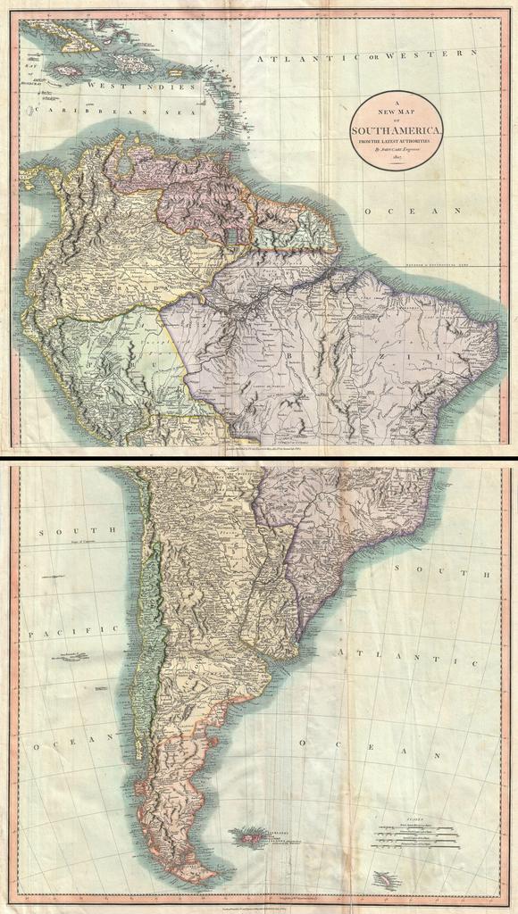
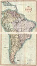
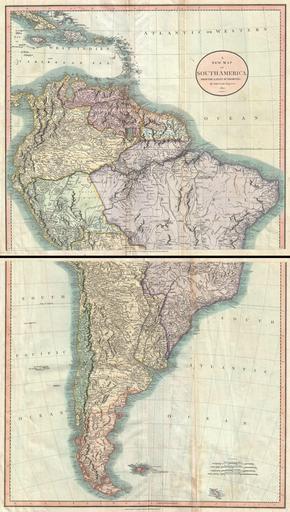
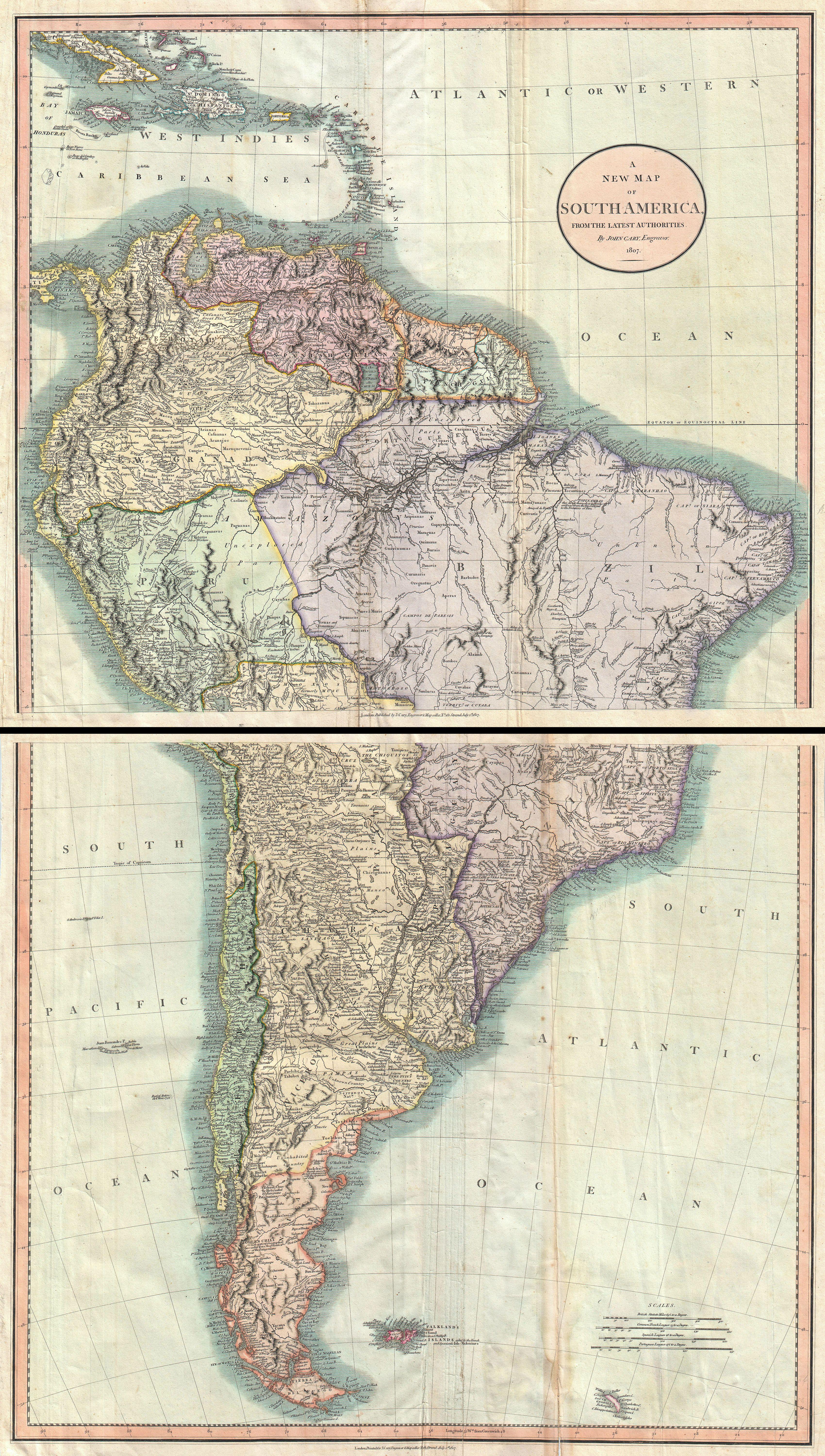
Cary Map of South America Geographicus SouthAmericacary. fine example of John Cary spectacular two sheet map of South America Covers the entirety of South America on two sheets The upper sheet details the region from Cuba southwards as far as Lake Titicaca and Porto Bello Brazil Includes the Windward Isles or the Lesser Antilles