Related Images

Download:
| Tiny | 143x128 | View | Download |
| Small | 286x256 | View | Download |
| Medium | 572x512 | View | Download |
| Large | 1144x1024 | View | Download |
| Original | 5000x4472 | View | Download |
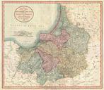
This image was acquired from
wikimedia. It was marked as Public Domain or CC0 and is free to use. To verify, go to the source and check the information there.
Looking for more info about this image?
Try a Google Reverse Image Search for it.
Try a Google Reverse Image Search for it.
Keywords from Image Description:
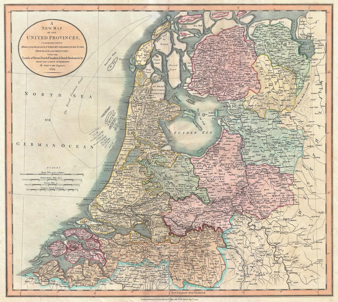
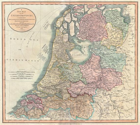
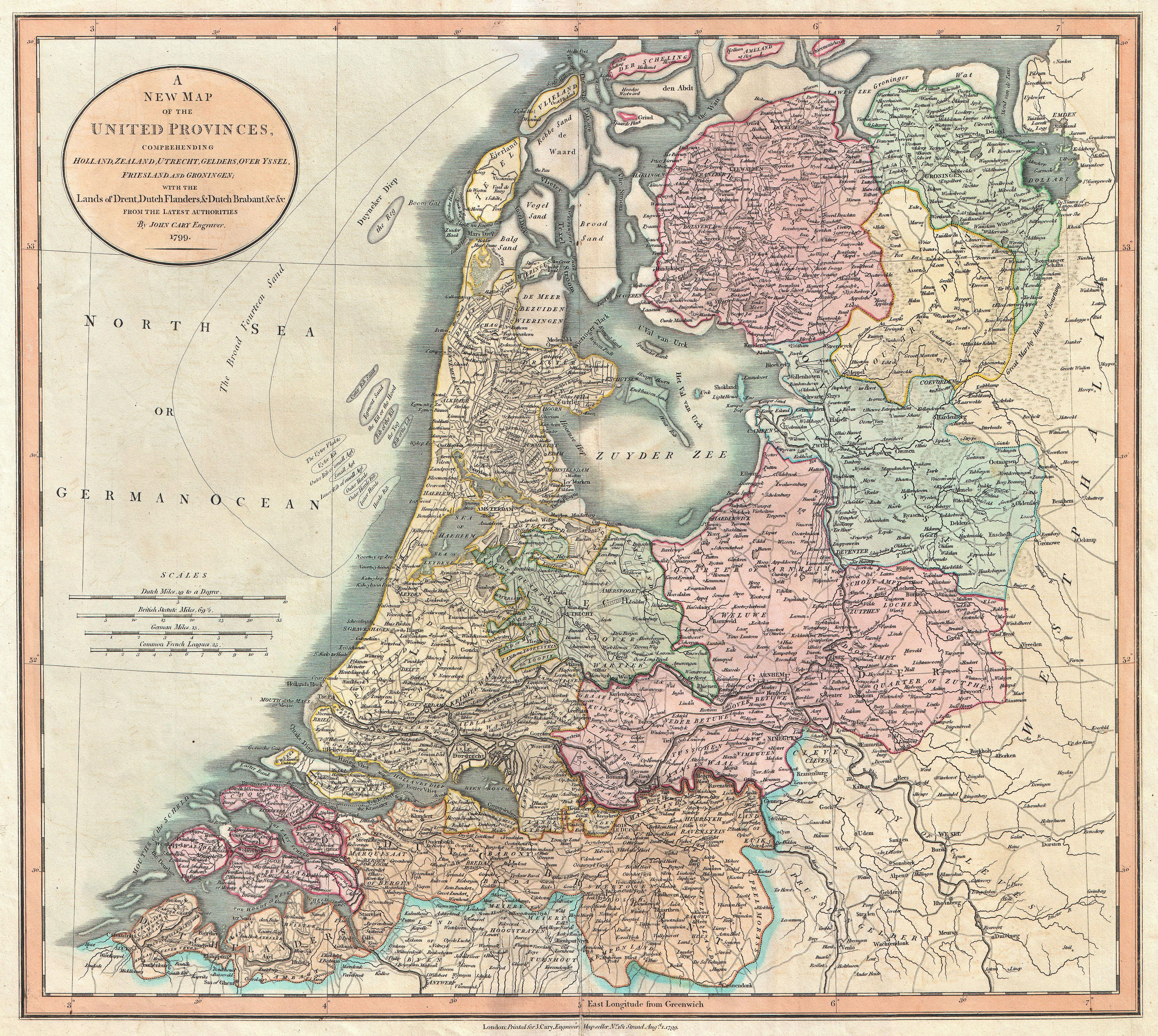
Cary Map of the Netherlands Geographicus Netherlandscary. An extremely attractive example of John Cary map of the Netherlands Consists of the provinces of Holland Zealand Utrecht Gelders Over Yssel Friesland and Groningen as well as Drent Dutch Flanders and Dutch Brabant Shows the massive Broad Fourteen sandbars in the North Sea