
Related Images


Download:
| Tiny | 153x128 | View | Download |
| Small | 307x256 | View | Download |
| Medium | 614x512 | View | Download |
| Large | 1229x1024 | View | Download |
| Original | 3500x2916 | View | Download |
This image was acquired from
wikimedia. It was marked as Public Domain or CC0 and is free to use. To verify, go to the source and check the information there.
Looking for more info about this image?
Try a Google Reverse Image Search for it.
Try a Google Reverse Image Search for it.
Keywords from Image Description:
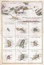
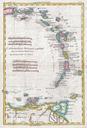
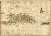
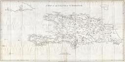
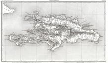
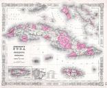
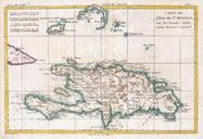
Thomson Map of Porto Rico Virgin Islands Haiti Dominican Republic Geographicus PortoRicot. This fascinating hand colored map by Edinburgh cartographer John Thomson depicts the modern West Indies or Caribbean nations of Porto Rico the Virgin Islands Haiti and the Dominican Republic Divided into two sections this is spectacularly