Related Images


Download:
| Tiny | 201x128 | View | Download |
| Small | 403x256 | View | Download |
| Medium | 807x512 | View | Download |
| Large | 1614x1024 | View | Download |
| Original | 4000x2537 | View | Download |
This image was acquired from
wikimedia. It was marked as Public Domain or CC0 and is free to use. To verify, go to the source and check the information there.
Looking for more info about this image?
Try a Google Reverse Image Search for it.
Try a Google Reverse Image Search for it.
Keywords from Image Description:
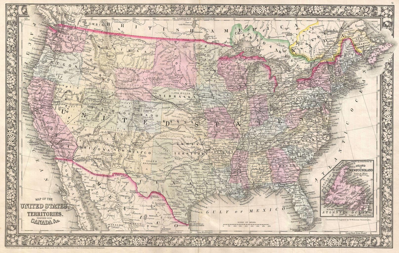
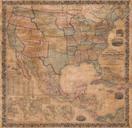
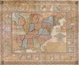
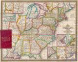
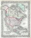
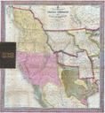
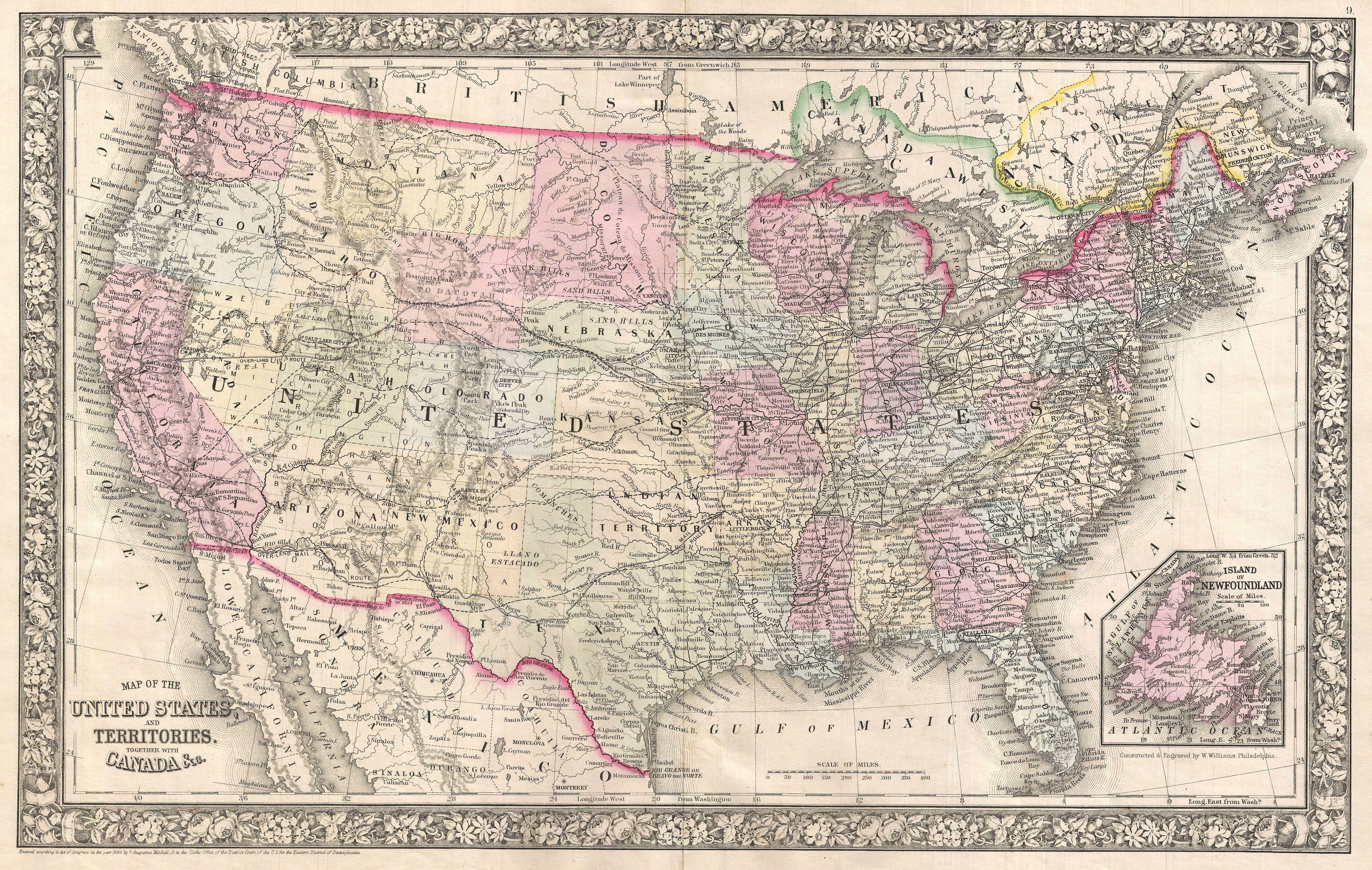
Mitchell Map of the United States Geographicus UnitedStatesmitchell. fine example of Mitchell map of the United States This map covers the entirety of the continental United States along with parts of Canada and Mexico Depicts the country in considerable detail with notations regarding railroads mail routes including the famed