
Related Images


Download:
| Tiny | 104x128 | View | Download |
| Small | 208x256 | View | Download |
| Medium | 416x512 | View | Download |
| Large | 832x1024 | View | Download |
| Original | 2000x2459 | View | Download |
This image was acquired from
wikimedia. It was marked as Public Domain or CC0 and is free to use. To verify, go to the source and check the information there.
Looking for more info about this image?
Try a Google Reverse Image Search for it.
Try a Google Reverse Image Search for it.
Keywords from Image Description:
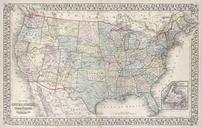
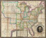
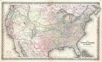
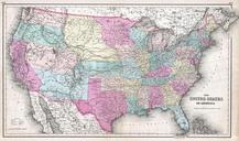
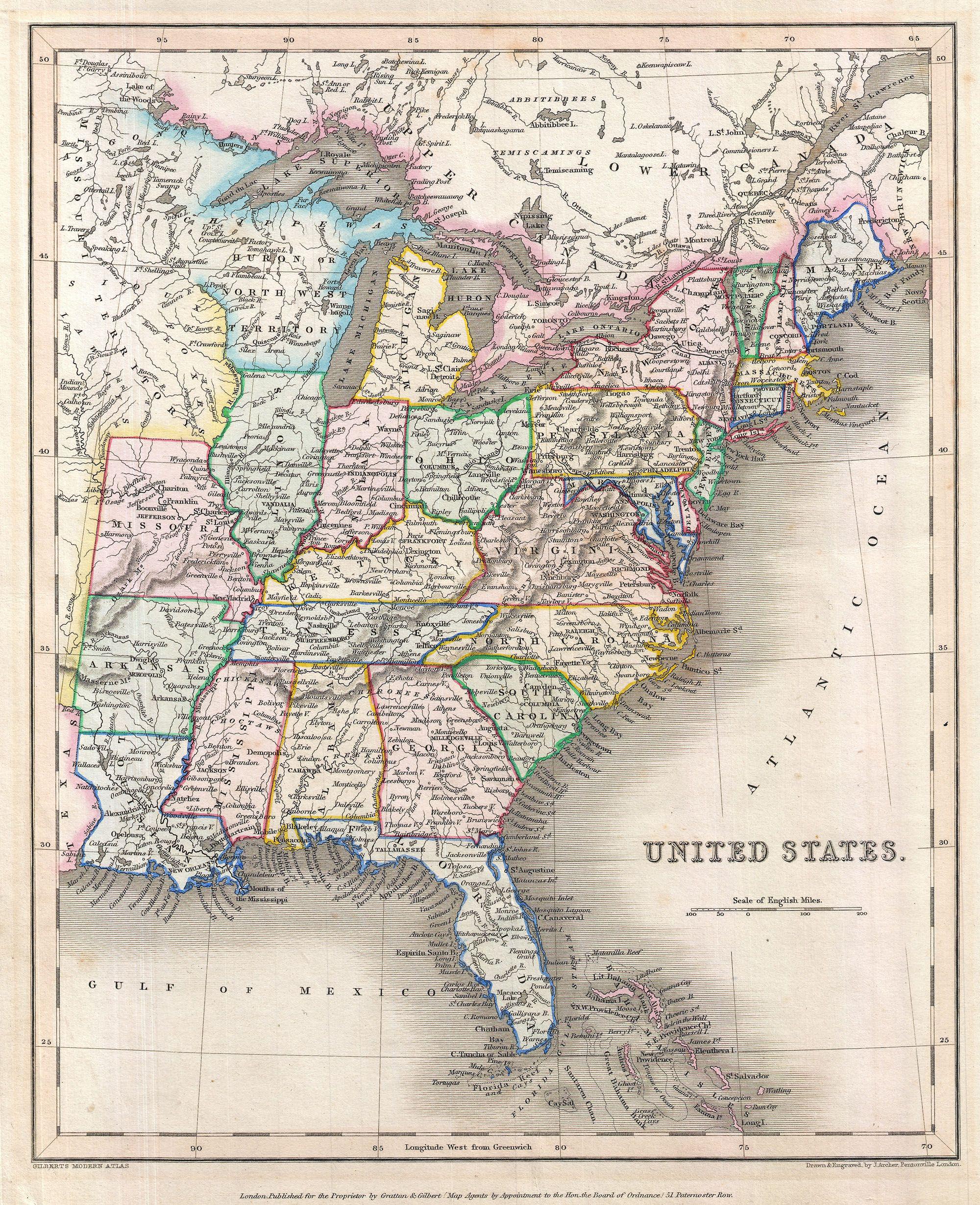
Gilbert Map of the United States Geographicus UnitedStatesgilbert. An unusual and colorful map of the United States from the edition of Gilbert's Modern Atlas Covers the united state as it existed in with the westernmost statutes being Missouri Arkansas and Louisiana Identifies the ephemeral independent Republic of Texas as