
Related Images

Download:
| Tiny | 154x128 | View | Download |
| Small | 308x256 | View | Download |
| Medium | 617x512 | View | Download |
| Large | 1234x1024 | View | Download |
| Original | 5000x4148 | View | Download |
This image was acquired from
wikimedia. It was marked as Public Domain or CC0 and is free to use. To verify, go to the source and check the information there.
Looking for more info about this image?
Try a Google Reverse Image Search for it.
Try a Google Reverse Image Search for it.
Keywords from Image Description:
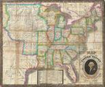
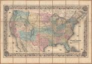
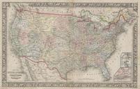
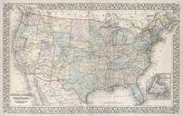
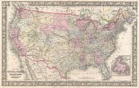
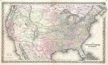
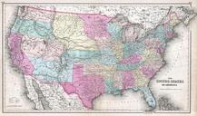
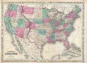
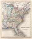
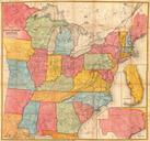
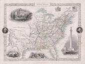
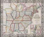
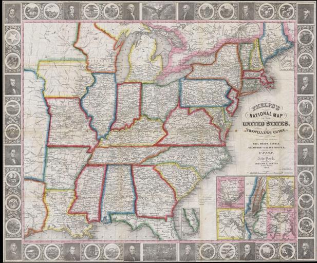
Phelps National Map of the United States pocket map Geographicus UnitedStatesphelps. This is rare issue of the first state of Phelps map of the United States Covers most of the eastern portion of the United States bounded on the west by Texas and two large unnamed territories to the north Insets in the lower right quadrant illustrate