Related Images


Download:
| Tiny | 158x128 | View | Download |
| Small | 317x256 | View | Download |
| Medium | 635x512 | View | Download |
| Large | 1270x1024 | View | Download |
| Original | 3500x2820 | View | Download |
This image was acquired from
wikimedia. It was marked as Public Domain or CC0 and is free to use. To verify, go to the source and check the information there.
Looking for more info about this image?
Try a Google Reverse Image Search for it.
Try a Google Reverse Image Search for it.
Keywords from Image Description:
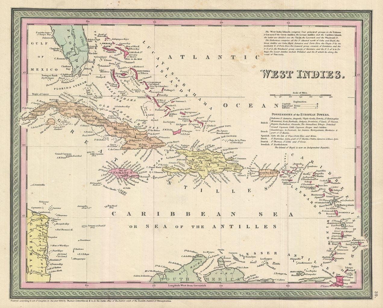
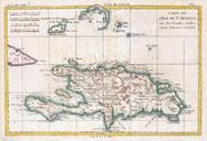
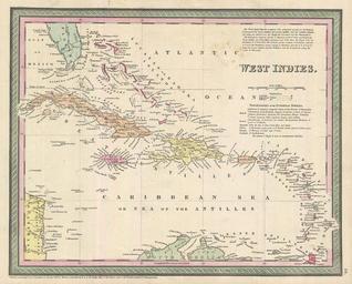
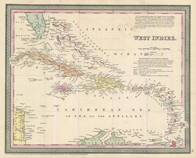
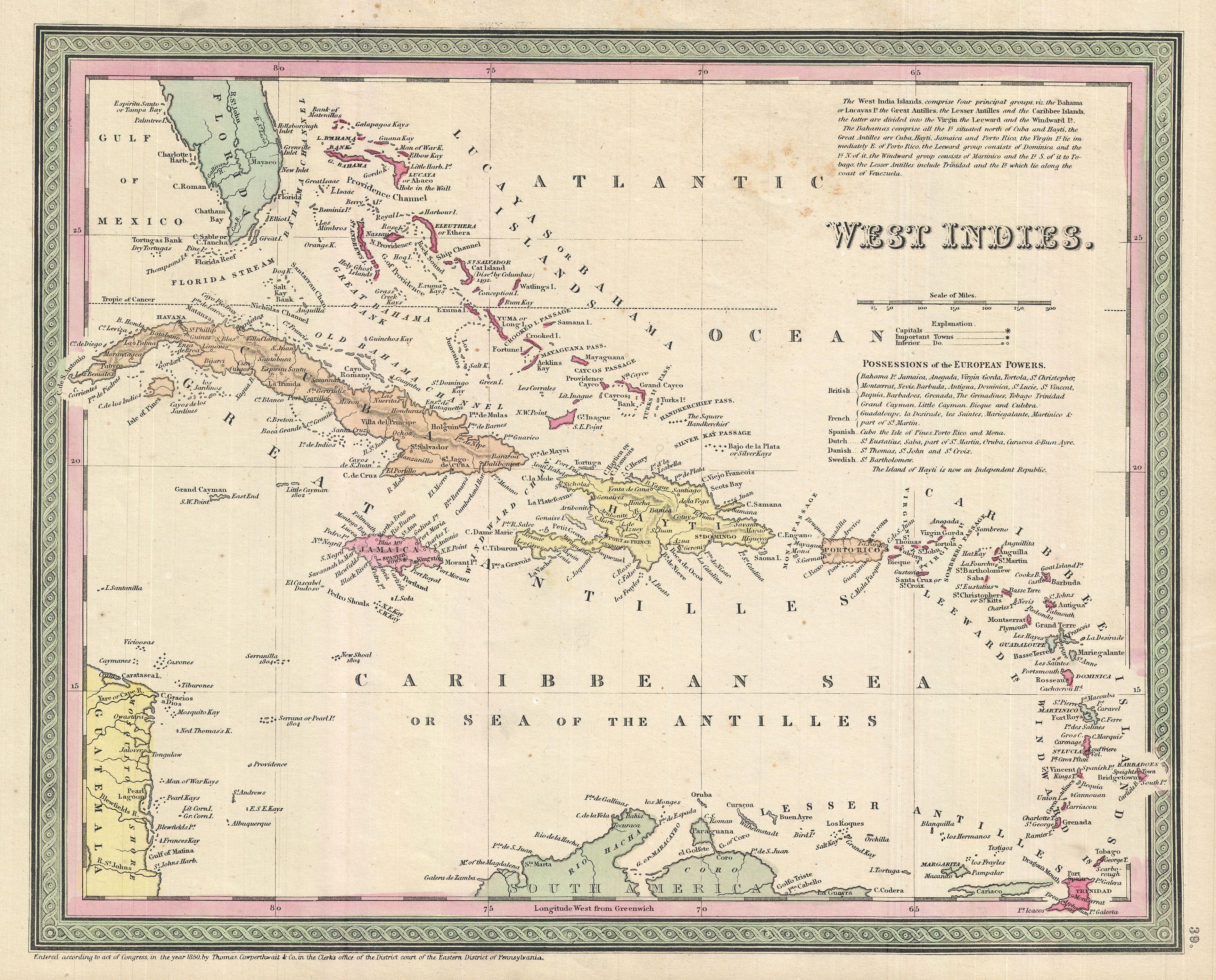
Cowperthwait Map of Cuba and West Indies Geographicus WestIndiesm. This scarce hand colored map is lithographic engraving of the West Indies dating to by the legendary American Mapmaker Mitchell the elder Covers from Florida and the Bahamas south through the Caribbean nations of Cuba and Hispaniola Haiti the Dominican Republic