
Related Images

Download:
| Tiny | 142x128 | View | Download |
| Small | 285x256 | View | Download |
| Medium | 570x512 | View | Download |
| Large | 1141x1024 | View | Download |
| Original | 2844x2551 | View | Download |
This image was acquired from
wikimedia. It was marked as Public Domain or CC0 and is free to use. To verify, go to the source and check the information there.
Looking for more info about this image?
Try a Google Reverse Image Search for it.
Try a Google Reverse Image Search for it.
Keywords from Image Description:
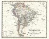
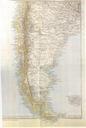
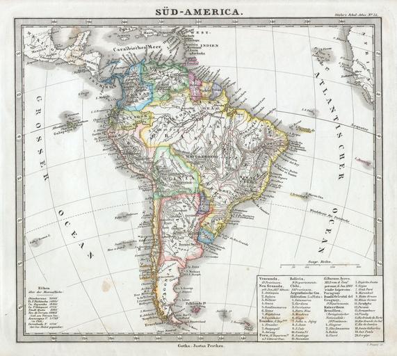
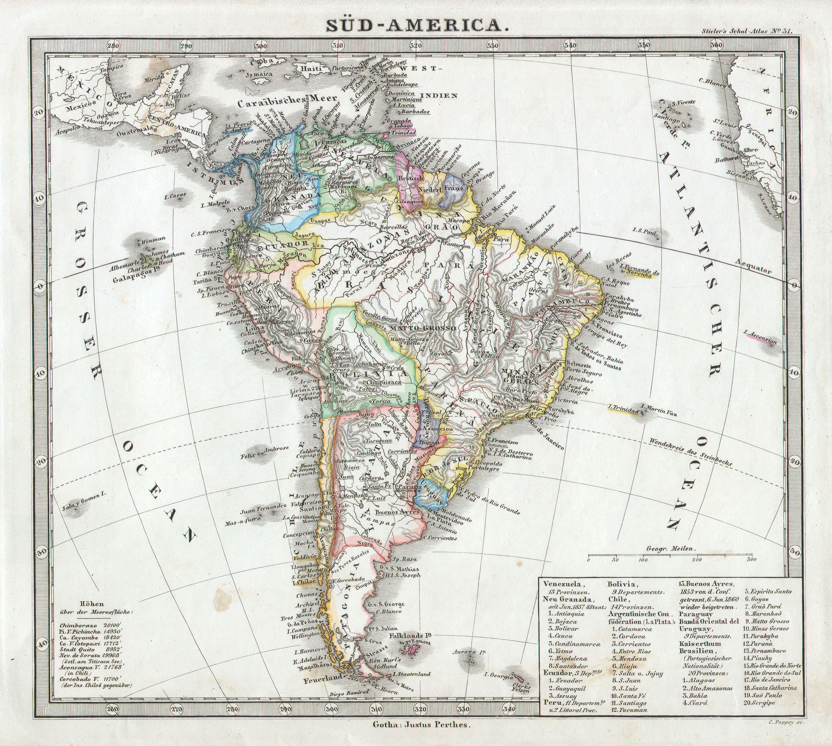
Perthes map of South America Geographicus SudAmericaperthes. This fascinating map by Justus Perthes and Stieler depicts the continent of South America Unlike other cartographic publishers of the period the Justus Perthes firm did not transition to lithographic printing techniques until the early Instead all of his maps are copper