Related Images
Download:
| Tiny | 185x128 | View | Download |
| Small | 370x256 | View | Download |
| Medium | 741x512 | View | Download |
| Large | 1482x1024 | View | Download |
| Original | 6000x4145 | View | Download |
This image was acquired from
wikimedia. It was marked as Public Domain or CC0 and is free to use. To verify, go to the source and check the information there.
Looking for more info about this image?
Try a Google Reverse Image Search for it.
Try a Google Reverse Image Search for it.
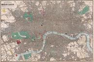
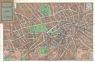
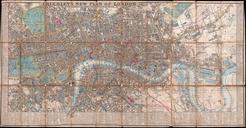
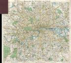
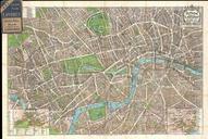
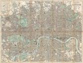
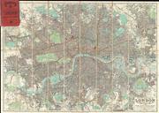
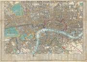
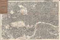
Keywords from Image Description:
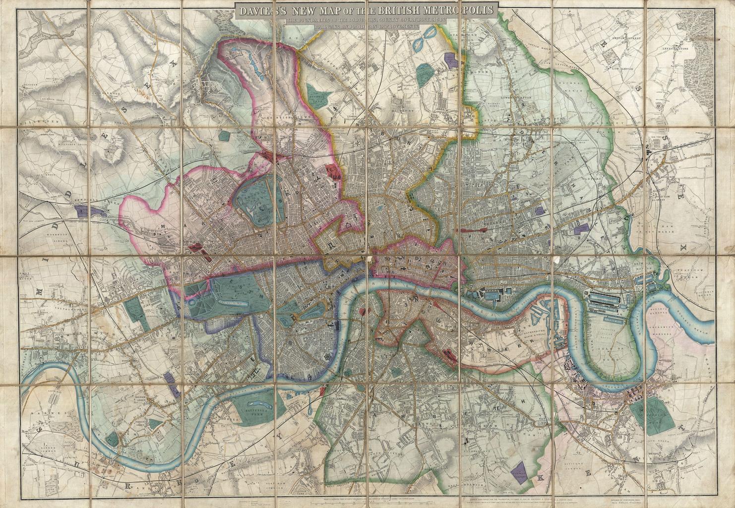
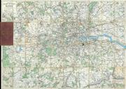
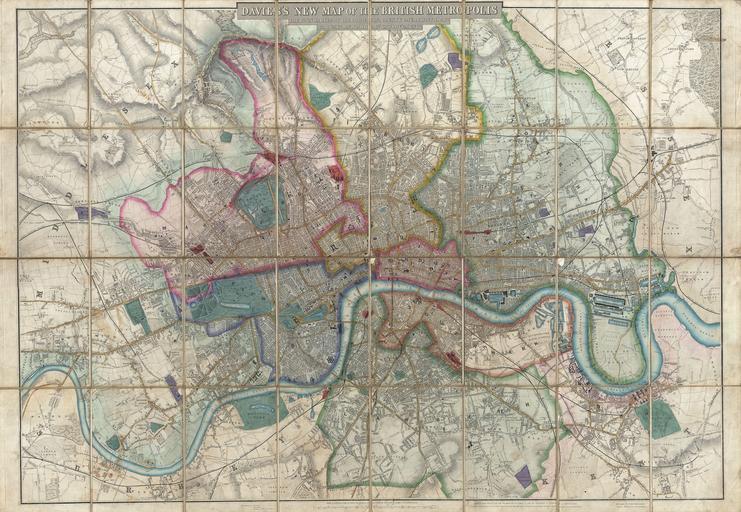
Davies Case Map or Pocket Map of London England Geographicus Londondavies. rare extraordinary and beautifully engraved case map or pocket plan of London England by Davies Covers the center of London from Chiswick east to Bugsby's Reach and the Victoria Docks extends north as far as Stamford Hill and south as far as Nunhead Cemetery