
Related Images

Download:
| Tiny | 117x128 | View | Download |
| Small | 235x256 | View | Download |
| Medium | 471x512 | View | Download |
| Large | 943x1024 | View | Download |
| Original | 5000x5425 | View | Download |
This image was acquired from
wikimedia. It was marked as Public Domain or CC0 and is free to use. To verify, go to the source and check the information there.
Looking for more info about this image?
Try a Google Reverse Image Search for it.
Try a Google Reverse Image Search for it.
Keywords from Image Description:
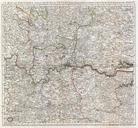
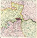
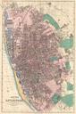
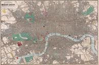
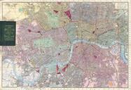
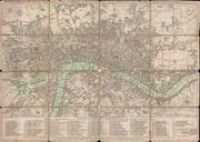
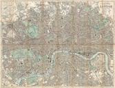
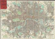
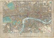
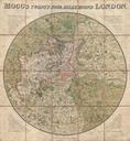
Mogg Pocket or Case Map of London England Miles around Geographicus Londonmogg. Edward Mogg's extraordinary case map of the region miles around London England Covers from Ryegate in the south to Hertfort in the north and from Windsor in the west to Gravesend in the east Mogg first issued this revolutionary circular format map