Related Images

Download:
| Tiny | 180x128 | View | Download |
| Small | 360x256 | View | Download |
| Medium | 720x512 | View | Download |
| Large | 1441x1024 | View | Download |
| Original | 4000x2842 | View | Download |
This image was acquired from
wikimedia. It was marked as Public Domain or CC0 and is free to use. To verify, go to the source and check the information there.
Looking for more info about this image?
Try a Google Reverse Image Search for it.
Try a Google Reverse Image Search for it.
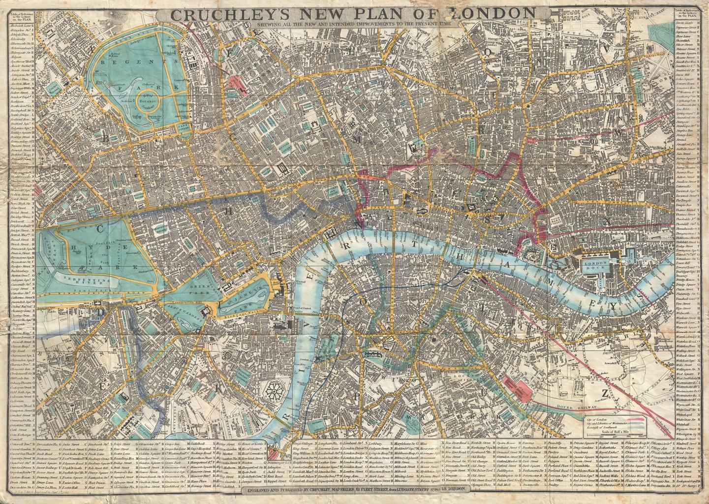
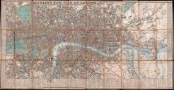
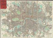
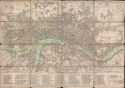
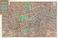
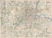
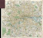
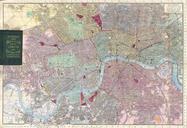
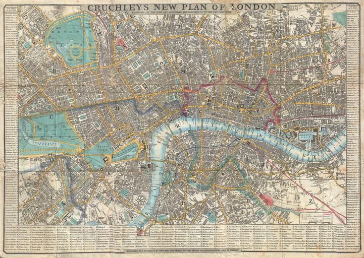
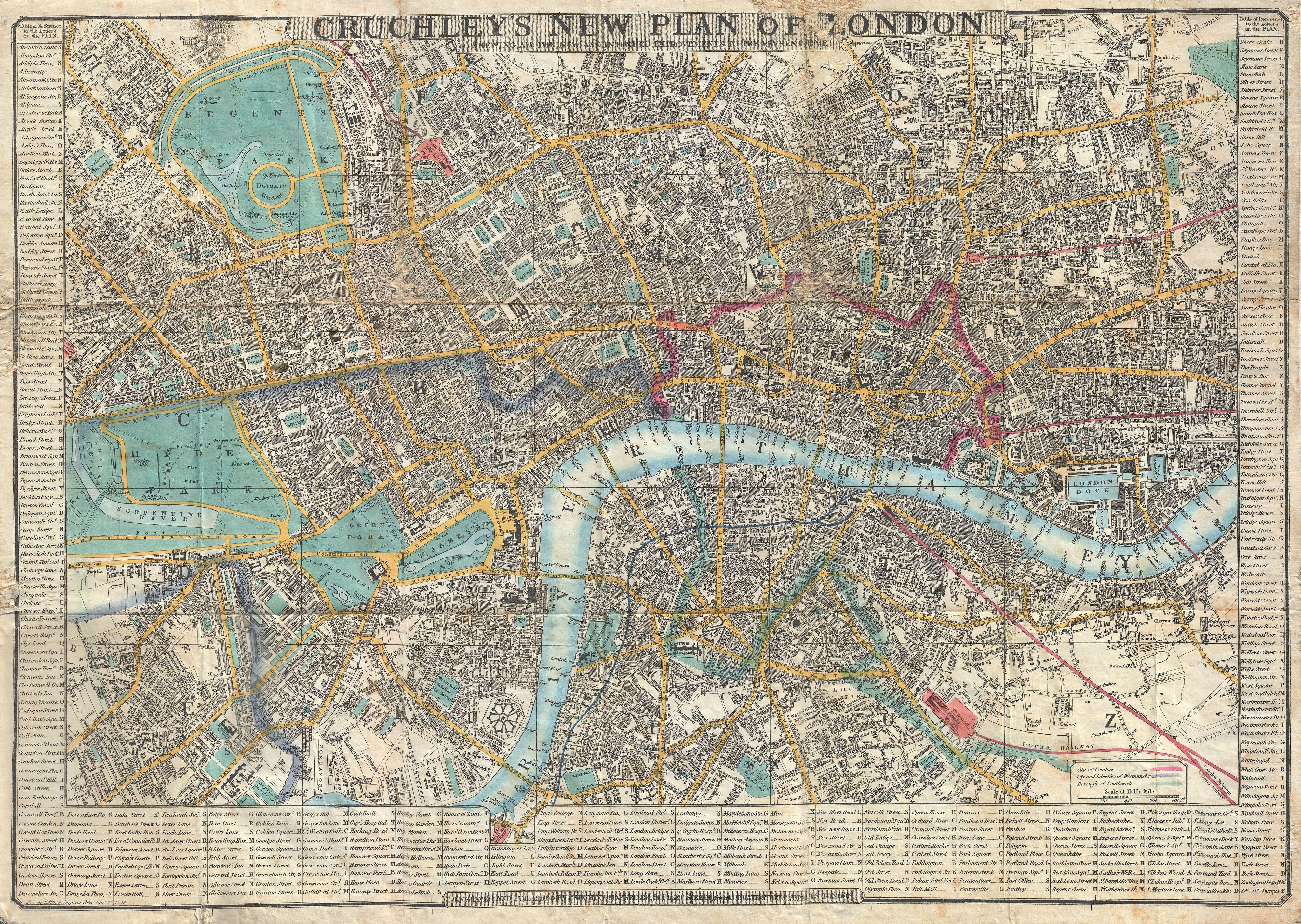
Keywords from Image Description:
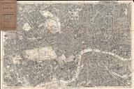
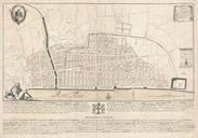
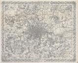
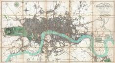
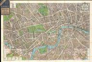
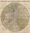
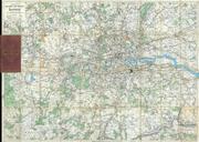
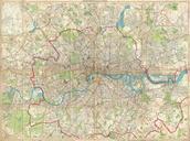
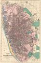
Crutchley Pocket Map or Plan of London England Geographicus Londoncrutchley. This is very attractive example of Cruchley's highly desirable Map of London England Covers London from Hyde Park in the west to the London Docks in the east Extends north to include all of Regents Park and south as far as the South Western Terimini