
Related Images


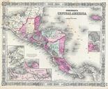
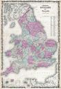
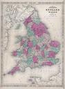
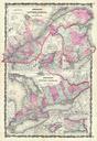


Download:
| Tiny | 162x128 | View | Download |
| Small | 324x256 | View | Download |
| Medium | 649x512 | View | Download |
| Large | 1299x1024 | View | Download |
| Original | 4000x3152 | View | Download |
This image was acquired from
wikimedia. It was marked as Public Domain or CC0 and is free to use. To verify, go to the source and check the information there.
Looking for more info about this image?
Try a Google Reverse Image Search for it.
Try a Google Reverse Image Search for it.
Keywords from Image Description:
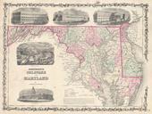
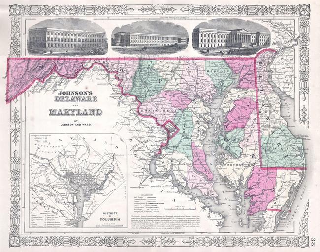
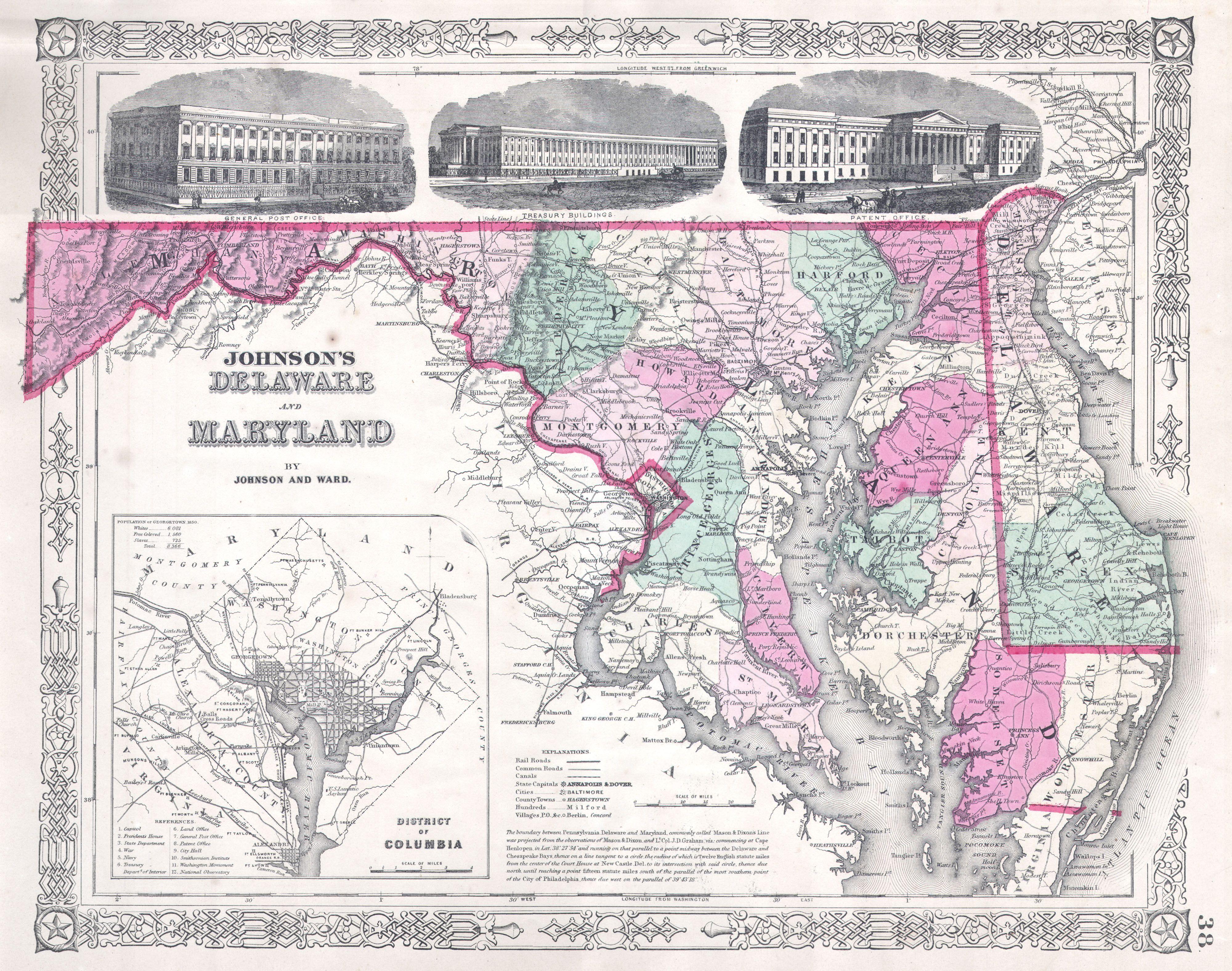
Johnson Map of Delaware and Maryland Geographicus MDDEj. fine map of Maryland and Delaware dating to Features an inset of the Washington and the general vicinity Along the top of the map in what would be Pennsylvania there are three engraved images of important government buildings The General Post Office The Treasury Buildings