
Related Images
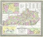


Download:
| Tiny | 159x128 | View | Download |
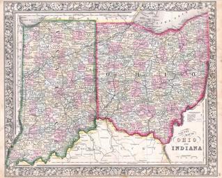
| Small | 318x256 | View | Download |
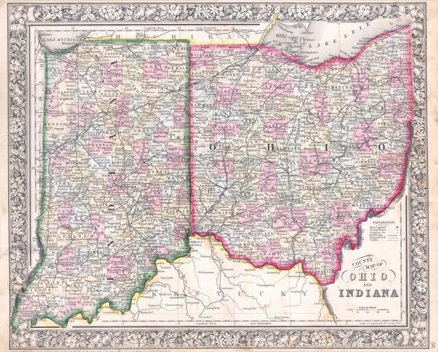
| Medium | 637x512 | View | Download |
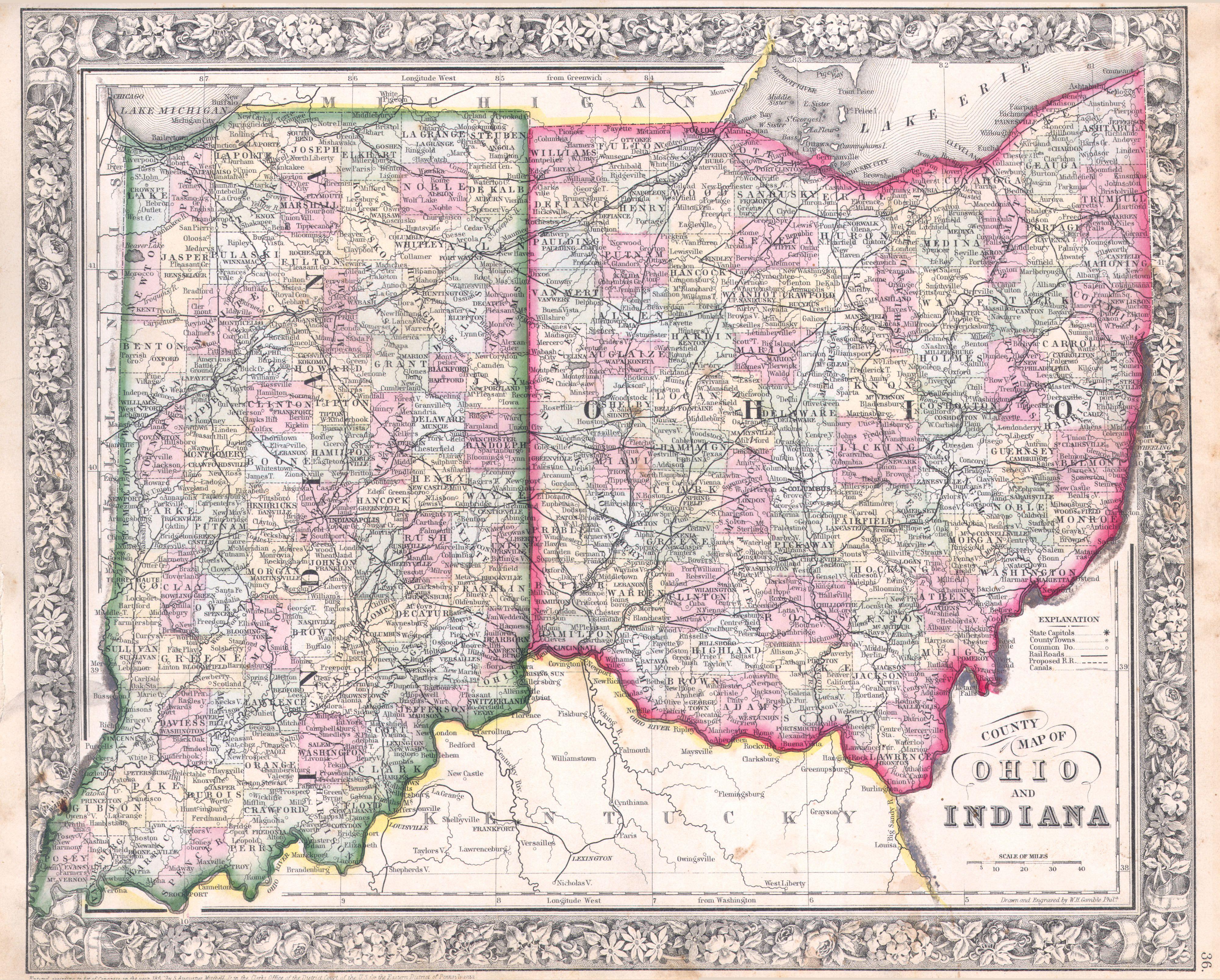
| Large | 1274x1024 | View | Download |
| Original | 4000x3213 | View | Download |
This image was acquired from
wikimedia. It was marked as Public Domain or CC0 and is free to use. To verify, go to the source and check the information there.
Looking for more info about this image?
Try a Google Reverse Image Search for it.
Try a Google Reverse Image Search for it.
Keywords from Image Description:
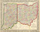
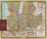
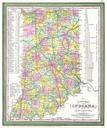
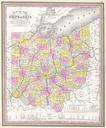
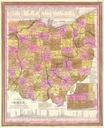
Mitchell Map of Ohio and Indiana Geographicus OHINmitchell. beautiful example of Mitchell Jr map of Ohio and Indiana Detailed to the county level with special attention both political and geographic elements Notes important river systems railways canals and cities Updated from the variant in to reflect the rapid settlement of