Download:
| Tiny | 150x128 | View | Download |
| Small | 300x256 | View | Download |
| Medium | 600x512 | View | Download |
| Large | 1200x1024 | View | Download |
| Original | 3000x2558 | View | Download |
This image was acquired from
wikimedia. It was marked as Public Domain or CC0 and is free to use. To verify, go to the source and check the information there.
Looking for more info about this image?
Try a Google Reverse Image Search for it.
Try a Google Reverse Image Search for it.
Keywords from Image Description:
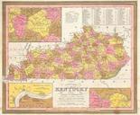
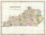
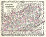
Cowperthwait Map of Kentucky Geographicus KTm. stunning hand colored map of Kentucky published by Mitchell Sr in Depicts the state in superb detail with counties roads canals cities and rivers clearly noted Inset maps depict the vicinity of Lexington the Falls of Ohio and Lewis Mason counties table in the upper right quadrant

