
Related Images


Download:
| Tiny | 154x128 | View | Download |
| Small | 308x256 | View | Download |
| Medium | 617x512 | View | Download |
| Large | 1235x1024 | View | Download |
| Original | 3500x2901 | View | Download |
This image was acquired from
wikimedia. It was marked as Public Domain or CC0 and is free to use. To verify, go to the source and check the information there.
Looking for more info about this image?
Try a Google Reverse Image Search for it.
Try a Google Reverse Image Search for it.
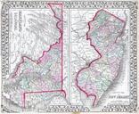
Keywords from Image Description:
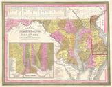
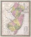
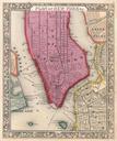
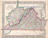
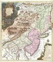
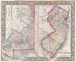
Mitchell Map of New Jersey Maryland and Delaware Geographicus MarylandNewJerseymitchell. beautiful example of Mitchell Jr map of New Jersey Maryland and Delaware Color coded at the county level Features the floral border typical of Mitchell maps from the period Prepared by Mitchell Jr for inclusion as plate in the issue of