Related Images

Download:
| Tiny | 151x128 | View | Download |
| Small | 302x256 | View | Download |
| Medium | 604x512 | View | Download |
| Large | 1208x1024 | View | Download |
| Original | 3500x2966 | View | Download |
This image was acquired from
wikimedia. It was marked as Public Domain or CC0 and is free to use. To verify, go to the source and check the information there.
Looking for more info about this image?
Try a Google Reverse Image Search for it.
Try a Google Reverse Image Search for it.
Keywords from Image Description:
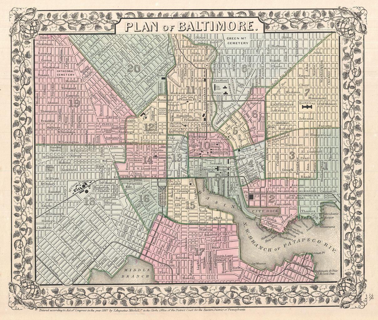
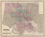
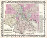
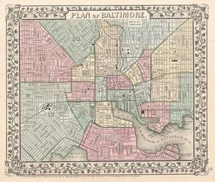
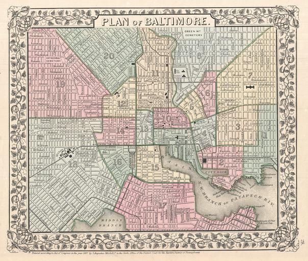
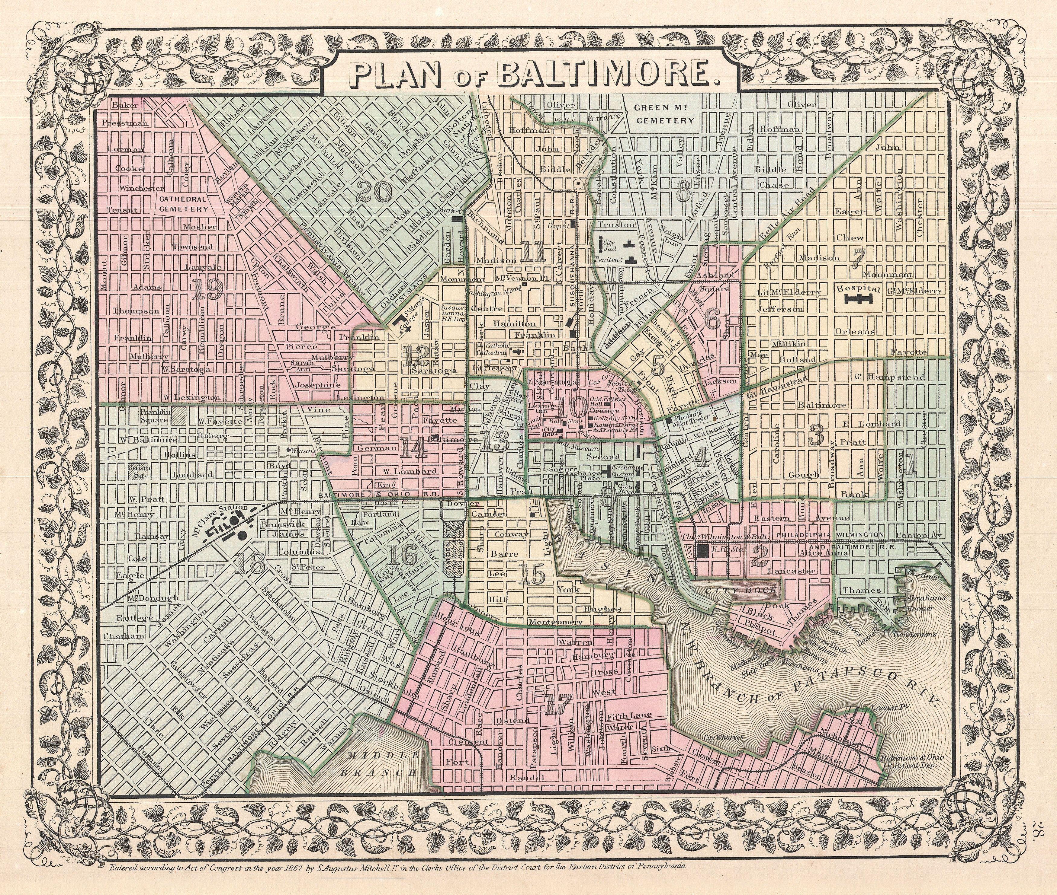
Mitchell Map of Baltimore Maryland Geographicus Baltimoremitchell. beautiful example of Mitchell Jr map of Baltimore Maryland Covers Baltimore from the Northwest Brach of the Patapsco River and Locust Point northwards as far as Green Mountain Cemetary and Oliver Street Hand colored in pink green yellow and blue pastels to identify