
Related Images


Download:
| Tiny | 156x128 | View | Download |
| Small | 312x256 | View | Download |
| Medium | 624x512 | View | Download |
| Large | 1249x1024 | View | Download |
| Original | 3000x2459 | View | Download |
This image was acquired from
wikimedia. It was marked as Public Domain or CC0 and is free to use. To verify, go to the source and check the information there.
Looking for more info about this image?
Try a Google Reverse Image Search for it.
Try a Google Reverse Image Search for it.
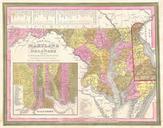
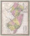
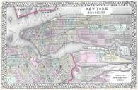
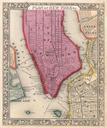
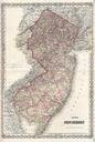
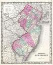
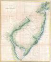
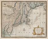
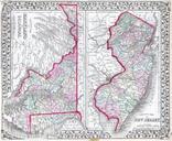
Keywords from Image Description:
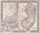
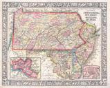
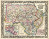
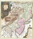
Mitchell Map of Maryland New Jersey and Delaware Geographicus MDDENJm. This hand colored antique map of Maryland Delaware and New Jersey is lithographic engraving dating to by the legendary American map publisher Samuel Augustus Mitchell Jr Cities and towns are shown in considerable detail Size in object history credit line