
Related Images


Download:
| Tiny | 212x128 | View | Download |
| Small | 425x256 | View | Download |
| Medium | 851x512 | View | Download |
| Large | 1703x1024 | View | Download |
| Original | 6000x3606 | View | Download |
This image was acquired from
wikimedia. It was marked as Public Domain or CC0 and is free to use. To verify, go to the source and check the information there.
Looking for more info about this image?
Try a Google Reverse Image Search for it.
Try a Google Reverse Image Search for it.
Keywords from Image Description:
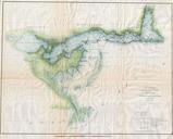
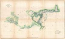
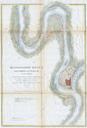
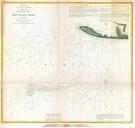
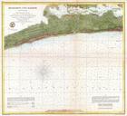
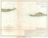
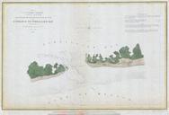
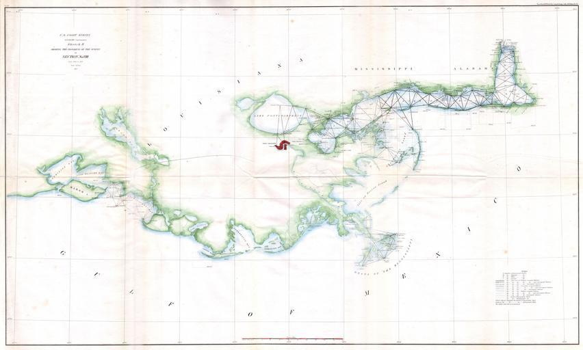
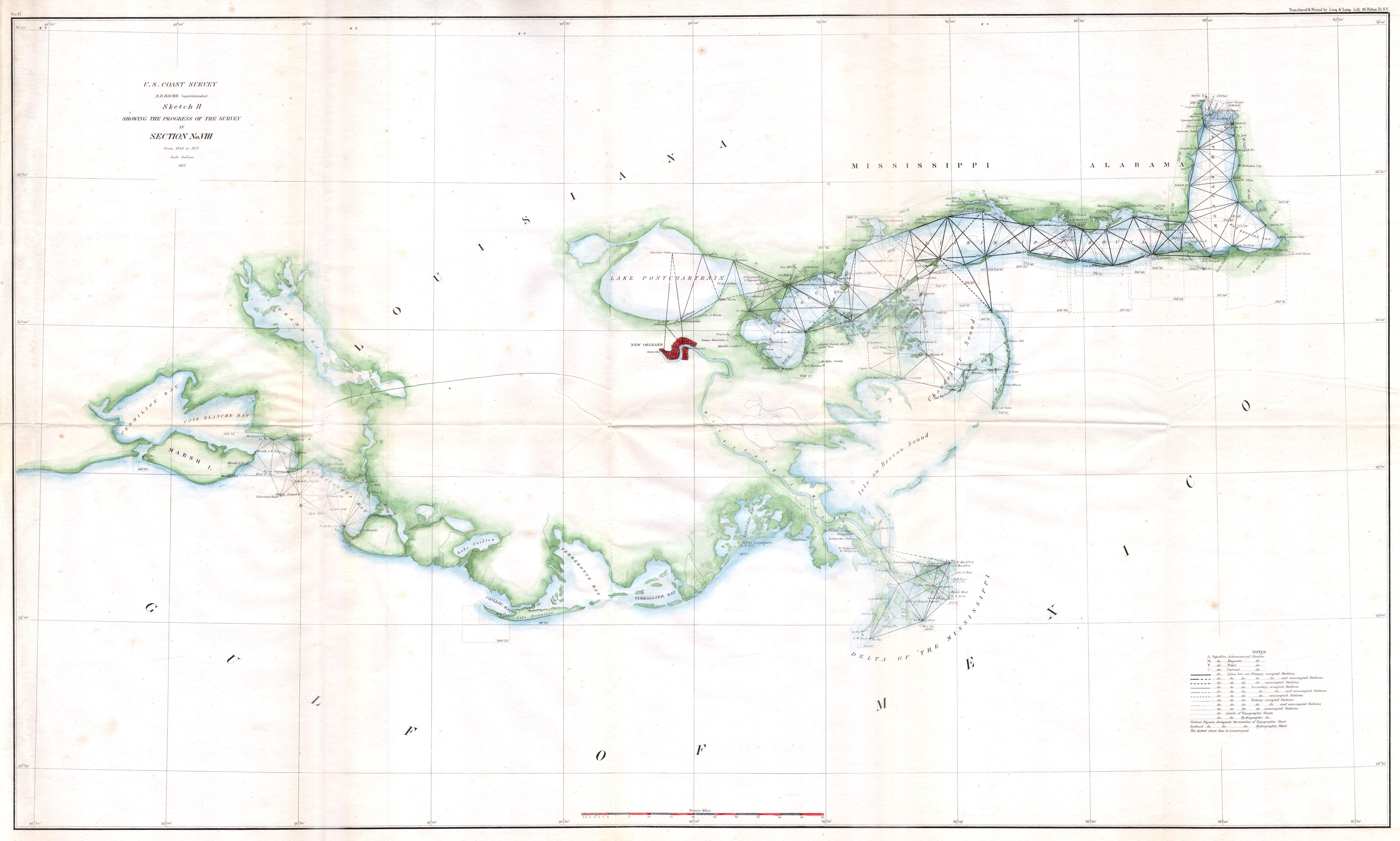
U.S.C.S. Map of the Louisiana Mississippi Coast around New Orleans Geographicus MSLACoastuscs. rare hand colored coastal triangulation chart of the coast line of Mississippi and Louisiana around New Orleans Details the coast from Vermillion Bay Louisiana to Mobile Bay Alabama Features minor inland detail especially around New


