Related Images


Download:
| Tiny | 159x128 | View | Download |
| Small | 318x256 | View | Download |
| Medium | 637x512 | View | Download |
| Large | 1274x1024 | View | Download |
| Original | 4000x3213 | View | Download |
This image was acquired from
wikimedia. It was marked as Public Domain or CC0 and is free to use. To verify, go to the source and check the information there.
Looking for more info about this image?
Try a Google Reverse Image Search for it.
Try a Google Reverse Image Search for it.
Keywords from Image Description:
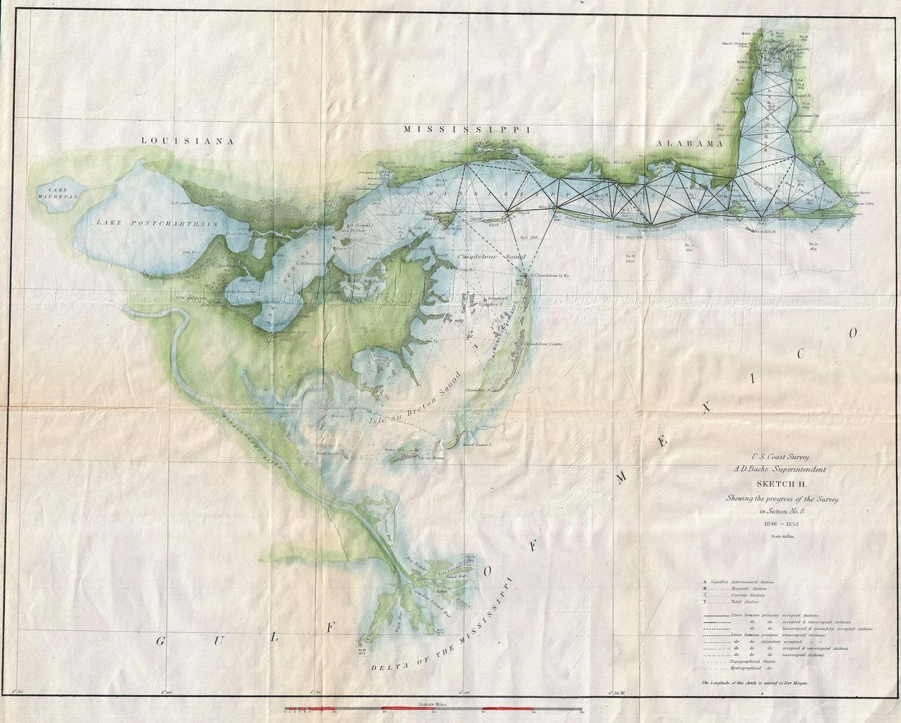
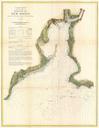
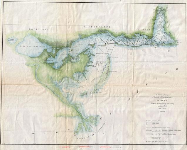
U.S. Coast Survey Map of Lake Pontchartrain New Orleans and the Mississippi Delta Geographicus MissDeltauscs. An attractive hand colored Coast Survey triangulation chart or map of the Mississippi Delta Depicts the Mississippi Delta and the Gulf Coast from Lake Pontchartrain Louisiana eastward past New Orleans as far as Mobile