Related Images


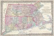
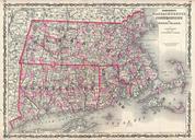
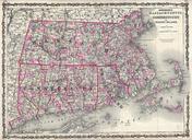


Download:
| Tiny | 264x128 | View | Download |
| Small | 529x256 | View | Download |
| Medium | 1059x512 | View | Download |
| Large | 2118x1024 | View | Download |
| Original | 4000x1933 | View | Download |
This image was acquired from
wikimedia. It was marked as Public Domain or CC0 and is free to use. To verify, go to the source and check the information there.
Looking for more info about this image?
Try a Google Reverse Image Search for it.
Try a Google Reverse Image Search for it.
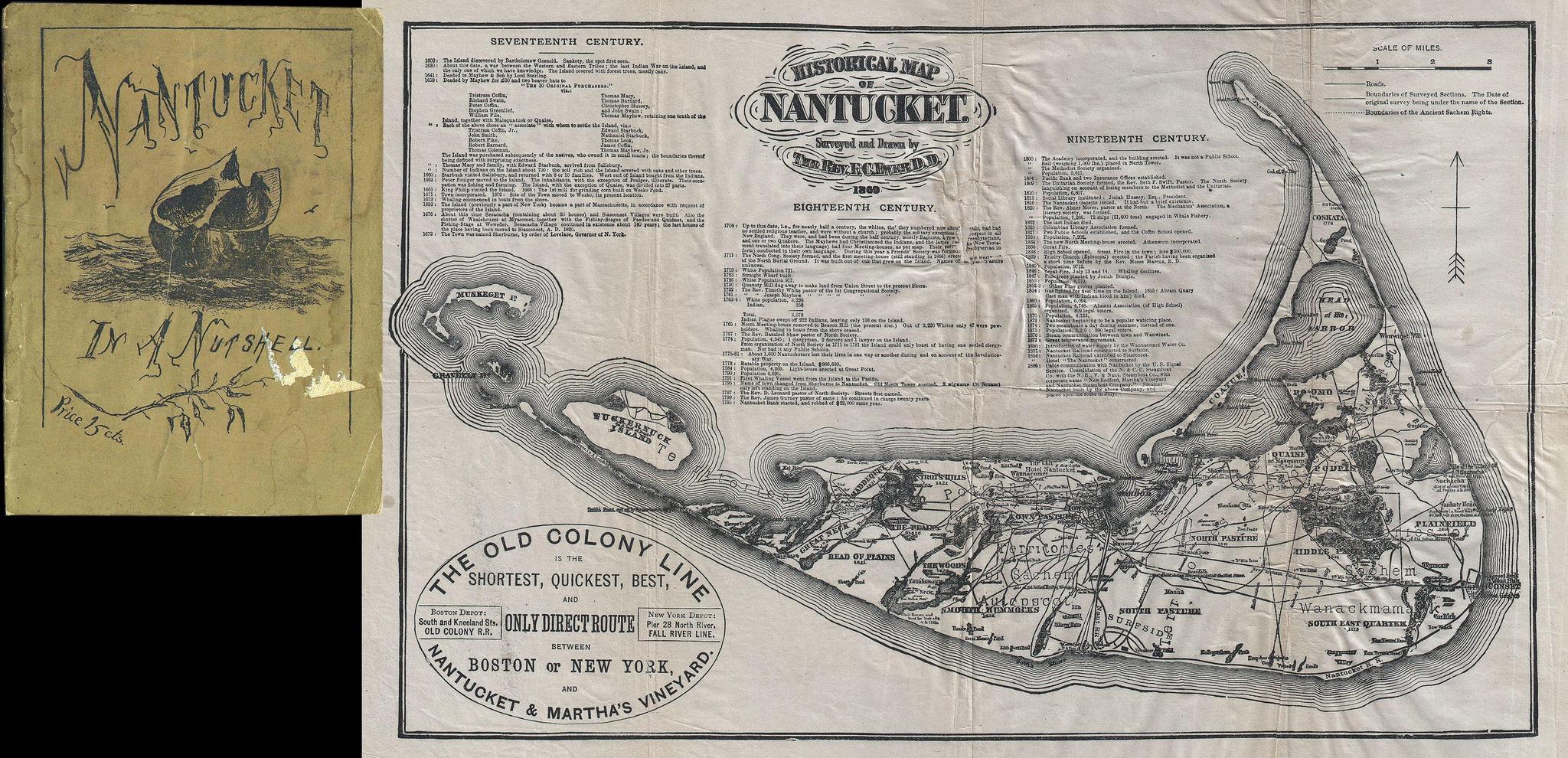
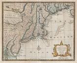
Keywords from Image Description:
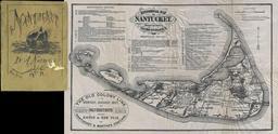
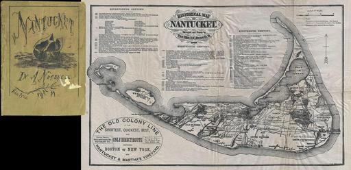
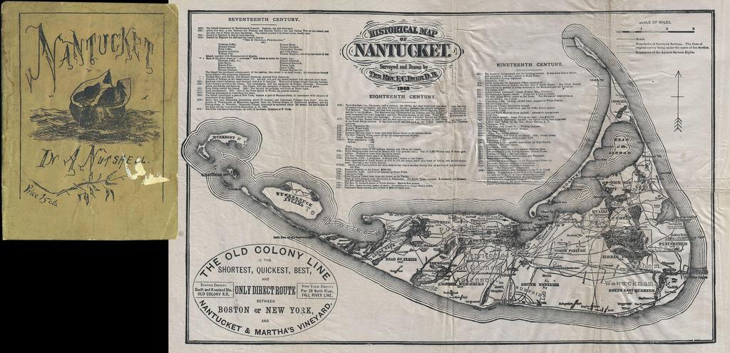
Ewer Map of Nantucket Massachusetts Geographicus Nantucketewer. This attractive map is reduced version of Reverend Ewers important map of Nantucket This variant was issued by the Old Colony Rail line in various formats from roughly to Covers the island of Nantucket in superb detail focusing on transportation and communities