
Related Images


Download:
| Tiny | 180x128 | View | Download |
| Small | 361x256 | View | Download |
| Medium | 722x512 | View | Download |
| Original | 1003x711 | View | Download |
This image was acquired from
wikimedia. It was marked as Public Domain or CC0 and is free to use. To verify, go to the source and check the information there.
Looking for more info about this image?
Try a Google Reverse Image Search for it.
Try a Google Reverse Image Search for it.
Keywords from Image Description:
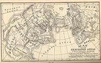
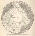
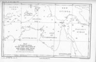
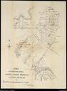
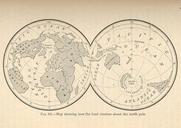
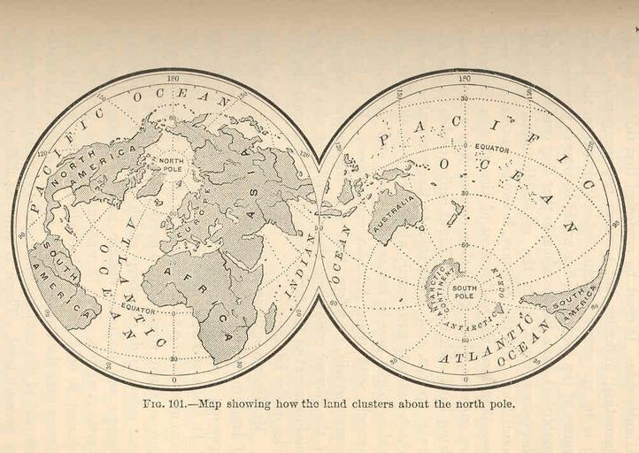
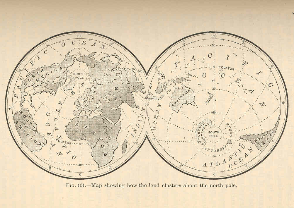
FMIB Map showing how the land clusters about the north pole.jpeg check categories August Map showing how the land clusters about the north pole Subject World maps Tag Coasts Cite book Man and the Glacial Period Wright Frederick New York Appleton and Company International Scientific Series vol Fig Creator George Frederick