
Related Images


Download:
| Tiny | 112x128 | View | Download |
| Small | 224x256 | View | Download |
| Medium | 448x512 | View | Download |
| Large | 896x1024 | View | Download |
| Original png | 1212x1385 | View | Download |
| Original as jpg | 1212x1385 | View | Download |
This image was acquired from
wikimedia. It was marked as Public Domain or CC0 and is free to use. To verify, go to the source and check the information there.
Looking for more info about this image?
Try a Google Reverse Image Search for it.
Try a Google Reverse Image Search for it.
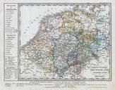
Keywords from Image Description:
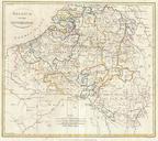
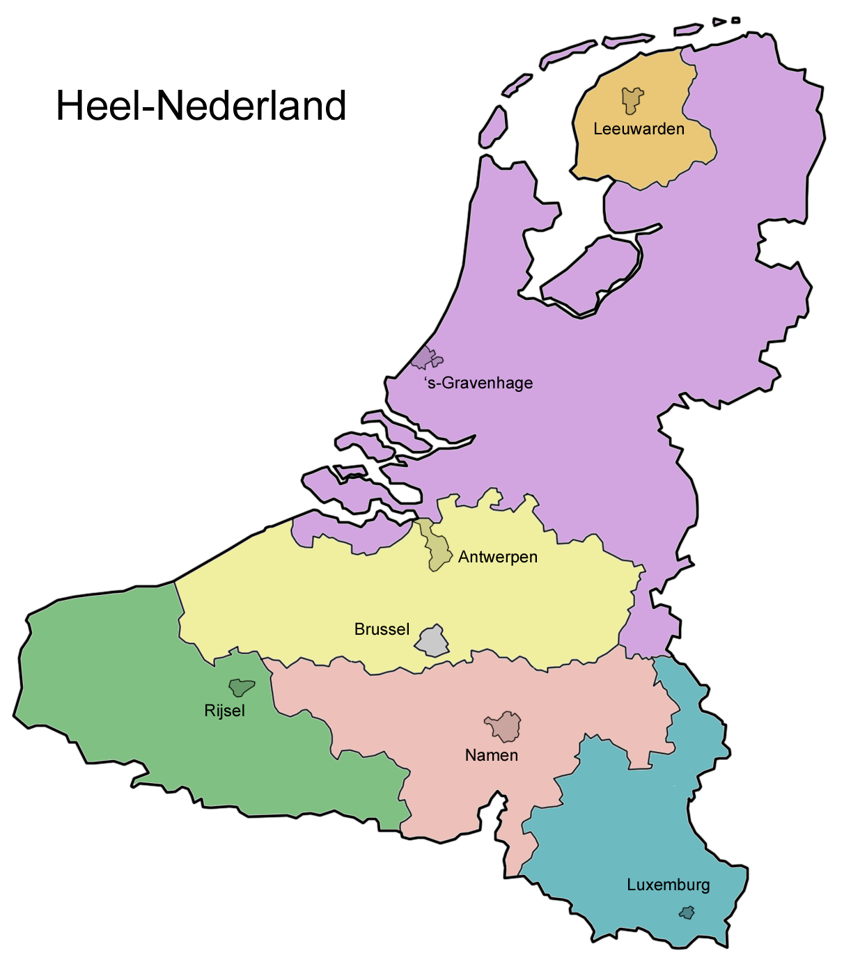
Heelnederland. Map of the WholeNetherlands potential union of Belgium the Netherlands NordPasdeCalais and Luxemburg with fantasy subdivisions own User Domie Domie proposed entity map Greater Netherlands Maps of Flanders Maps of proposed countries Maps of the Netherlands as imagined by