Related Images


Download:
| Tiny | 120x128 | View | Download |
| Small | 241x256 | View | Download |
| Medium | 483x512 | View | Download |
| Large | 966x1024 | View | Download |
| Original | 4500x4769 | View | Download |
This image was acquired from
wikimedia. It was marked as Public Domain or CC0 and is free to use. To verify, go to the source and check the information there.
Looking for more info about this image?
Try a Google Reverse Image Search for it.
Try a Google Reverse Image Search for it.
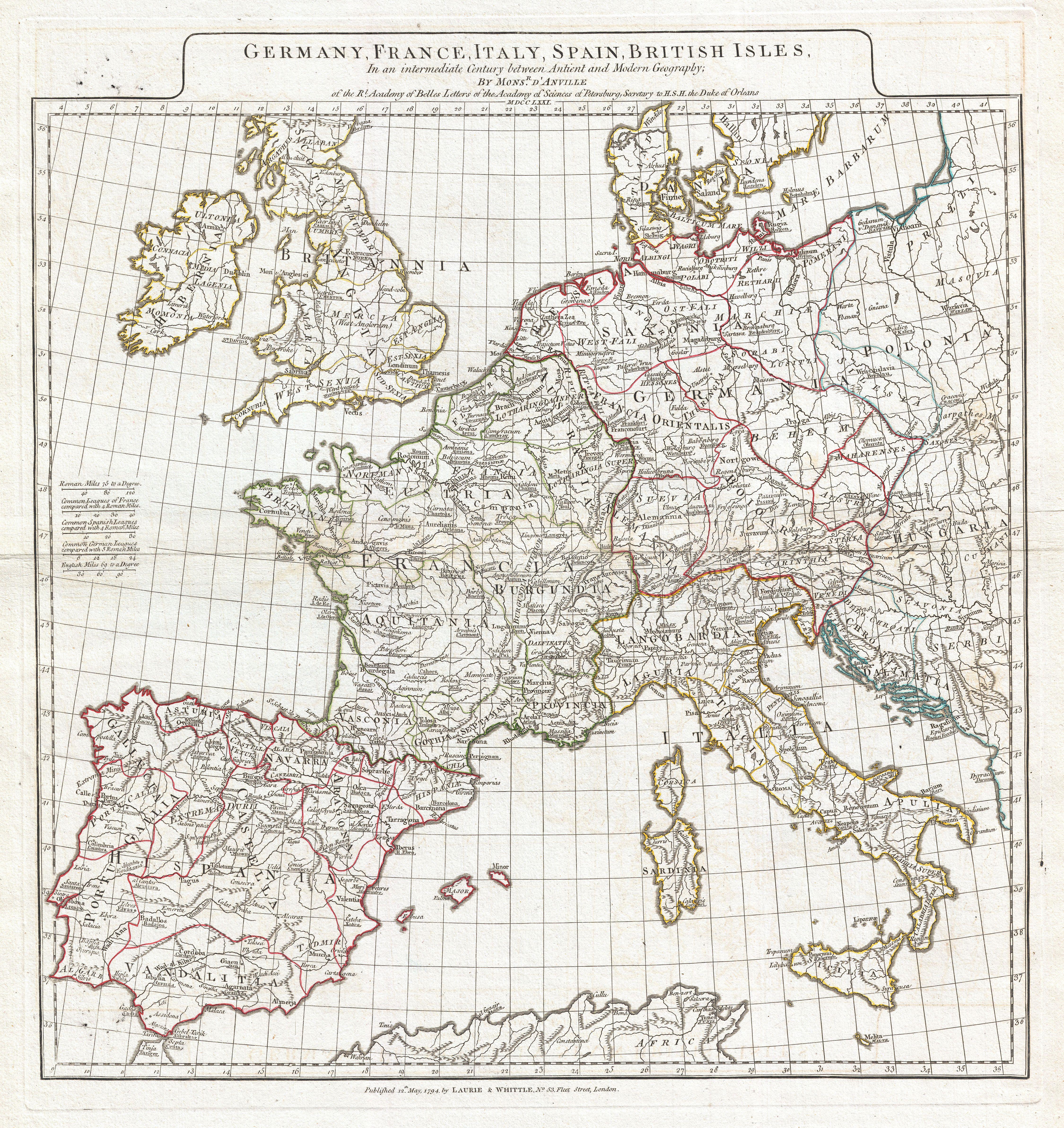
Keywords from Image Description:
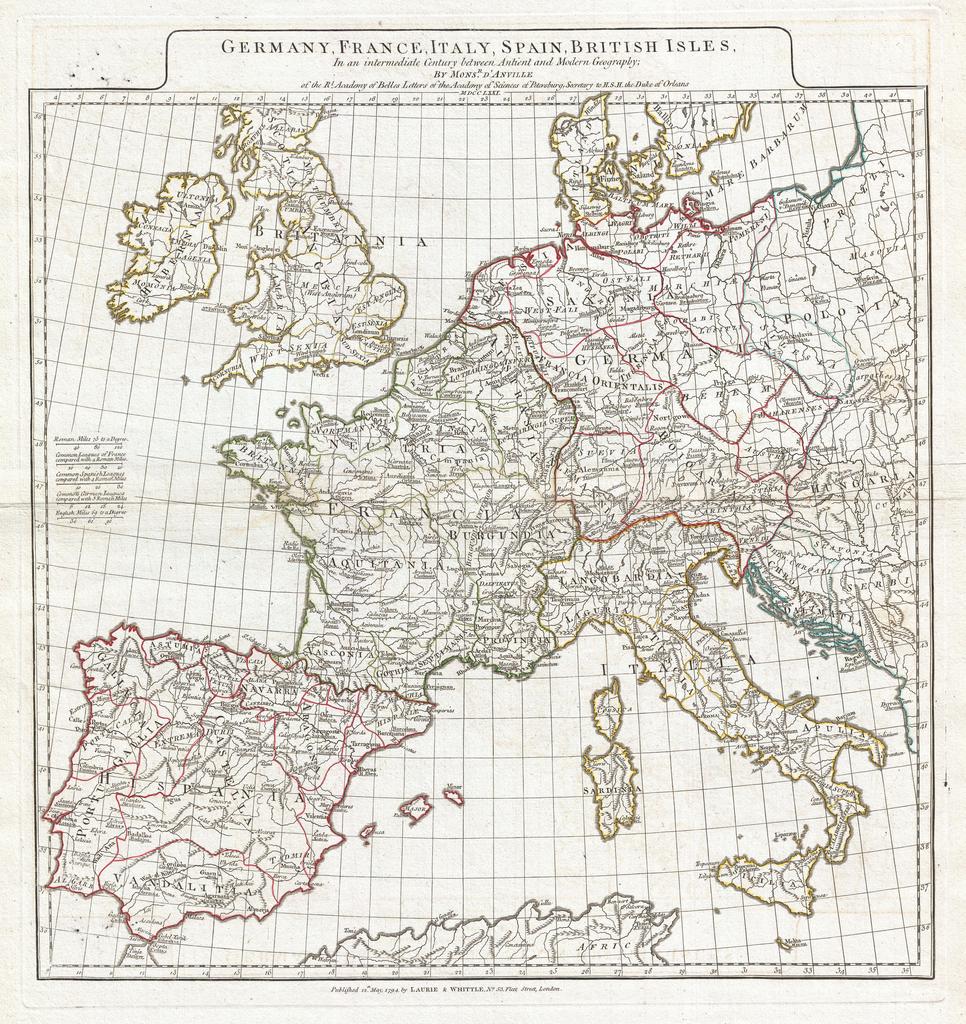
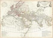
Anville Map of Europe in late Roman times Geographicus WesternEuropeanville. large and dramatic D'Anville map of Western Europe Covers from the British Isles south to Spain and east as far as Hungary Poland and Dalmatia This map is intended to represent western Europe following the decline of the Roman Empire but before the onset