
Related Images


Download:
| Tiny | 160x128 | View | Download |
| Small | 320x256 | View | Download |
| Medium | 641x512 | View | Download |
| Large | 1283x1024 | View | Download |
| Original | 3000x2393 | View | Download |
This image was acquired from
wikimedia. It was marked as Public Domain or CC0 and is free to use. To verify, go to the source and check the information there.
Looking for more info about this image?
Try a Google Reverse Image Search for it.
Try a Google Reverse Image Search for it.
Keywords from Image Description:
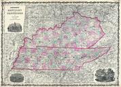
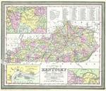
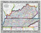
Mitchell Map of Kentucky and Tennessee Geographicus KTTNm. This hand colored map is lithographic engraving dating to by the legendary American Mapmaker Mitchell the younger It represents the states of Kentucky and Tennessee Shows both political and geographical features This is larger and more detailed version of Mitchell issue