Related Images


Download:
| Tiny | 103x128 | View | Download |
| Small | 206x256 | View | Download |
| Medium | 412x512 | View | Download |
| Large | 824x1024 | View | Download |
| Original | 3059x3801 | View | Download |
This image was acquired from
wikimedia. It was marked as Public Domain or CC0 and is free to use. To verify, go to the source and check the information there.
Looking for more info about this image?
Try a Google Reverse Image Search for it.
Try a Google Reverse Image Search for it.
Keywords from Image Description:
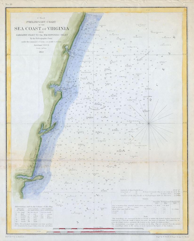
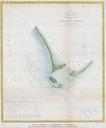
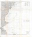
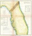
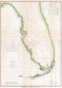
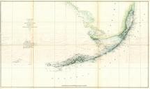
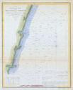
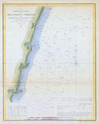
U.S.C.S. Map of the Virginia Coast Gargathy to Machipongo Geographicus SeaCoastVirginiaNouscs. Offered is Coast Survey map or chart of the Virginia coastline from Gartathy Inlet to Gr Machipongo Inlet Includes several of Virginia barrier islands specifically Hog Island Paramore Island and Cedar Island Numerous nautical notes