Related Images


Download:
| Tiny | 185x128 | View | Download |
| Small | 371x256 | View | Download |
| Medium | 743x512 | View | Download |
| Large | 1487x1024 | View | Download |
| Original | 5000x3443 | View | Download |
This image was acquired from
wikimedia. It was marked as Public Domain or CC0 and is free to use. To verify, go to the source and check the information there.
Looking for more info about this image?
Try a Google Reverse Image Search for it.
Try a Google Reverse Image Search for it.
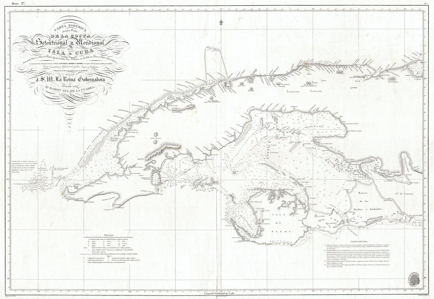
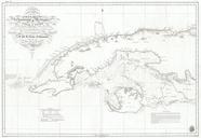
Keywords from Image Description:
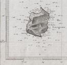
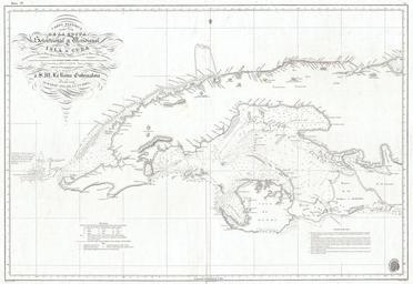
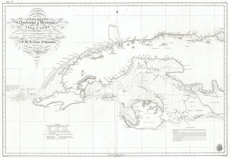
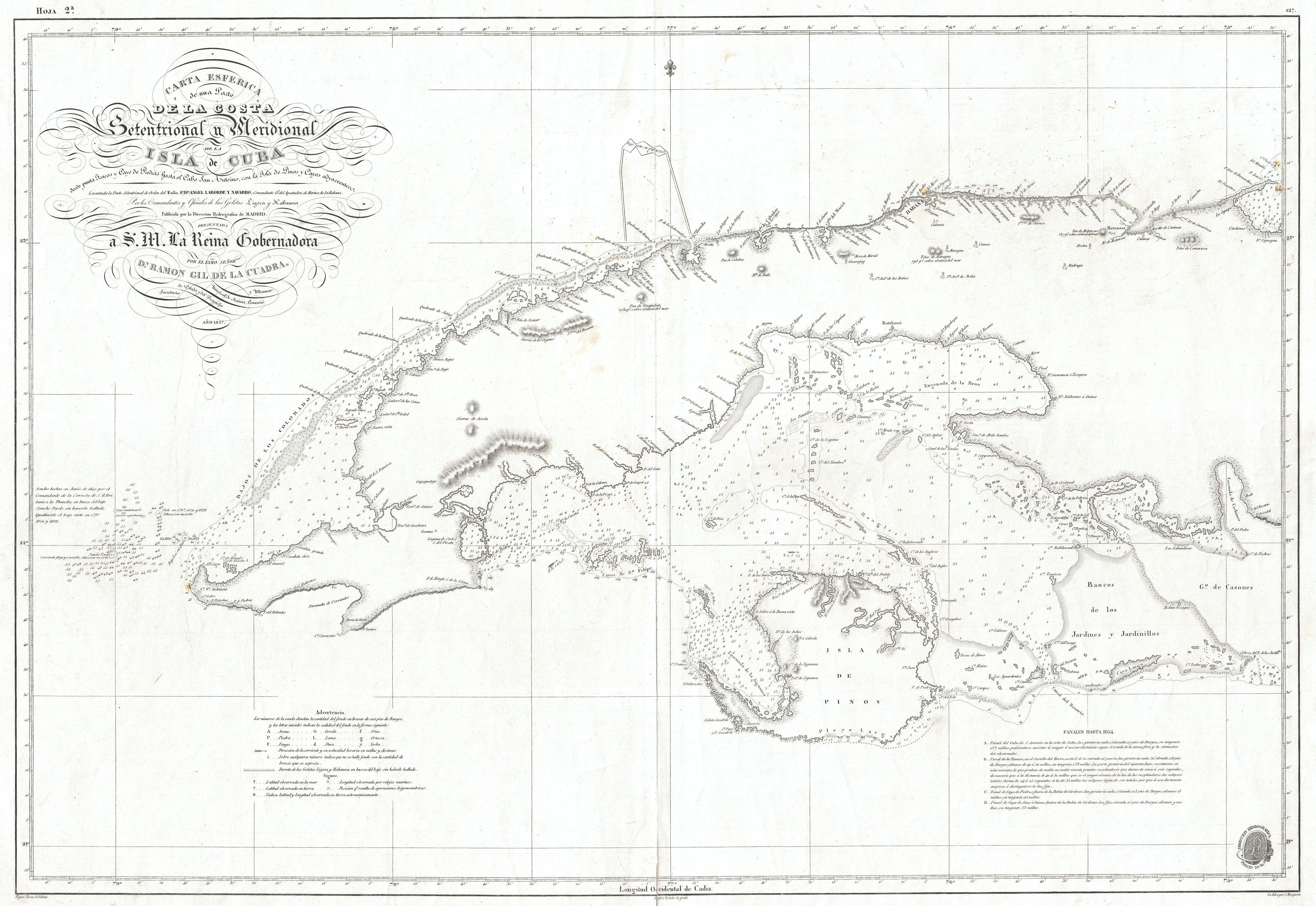
Hidrografica Nautical Chart of Map of Cuba Geographicus CubaWesthydrografica. This is dramatic and exceptionally rare nautical chart or map of the western part of Cuba by the Spanish mapping agency Direccion Hidrografica Covers the West India island from Cape San Antonio eastward as far as the Gulf of Cazones Includes the Isla