Download:
| Tiny | 242x128 | View | Download |
| Small | 485x256 | View | Download |
| Medium | 971x512 | View | Download |
| Original png | 1131x596 | View | Download |
| Original as jpg | 1131x596 | View | Download |
This image was acquired from
wikimedia. It was marked as Public Domain or CC0 and is free to use. To verify, go to the source and check the information there.
Looking for more info about this image?
Try a Google Reverse Image Search for it.
Try a Google Reverse Image Search for it.
Keywords from Image Description:
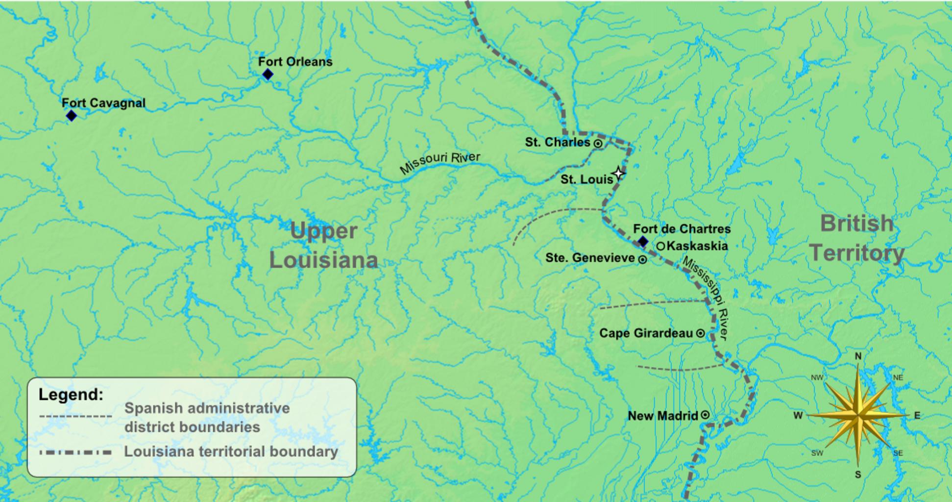
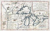
ColonialMissouriCa. en Map of the early settlements and forts of Upper Louisiana colonialera Missouri created using background image from DEMIS mapserver and Inkscape to add details and boundaries own Poroubalous Missouri Cczero
