Related Images


Download:
| Tiny | 108x128 | View | Download |
| Small | 217x256 | View | Download |
| Medium | 434x512 | View | Download |
| Large | 869x1024 | View | Download |
| Original png | 1489x1753 | View | Download |
| Original as jpg | 1489x1753 | View | Download |
This image was acquired from
wikimedia. It was marked as Public Domain or CC0 and is free to use. To verify, go to the source and check the information there.
Looking for more info about this image?
Try a Google Reverse Image Search for it.
Try a Google Reverse Image Search for it.
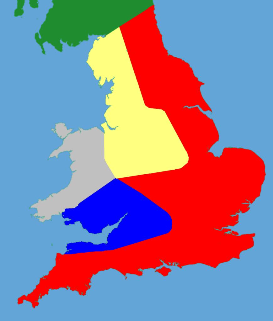
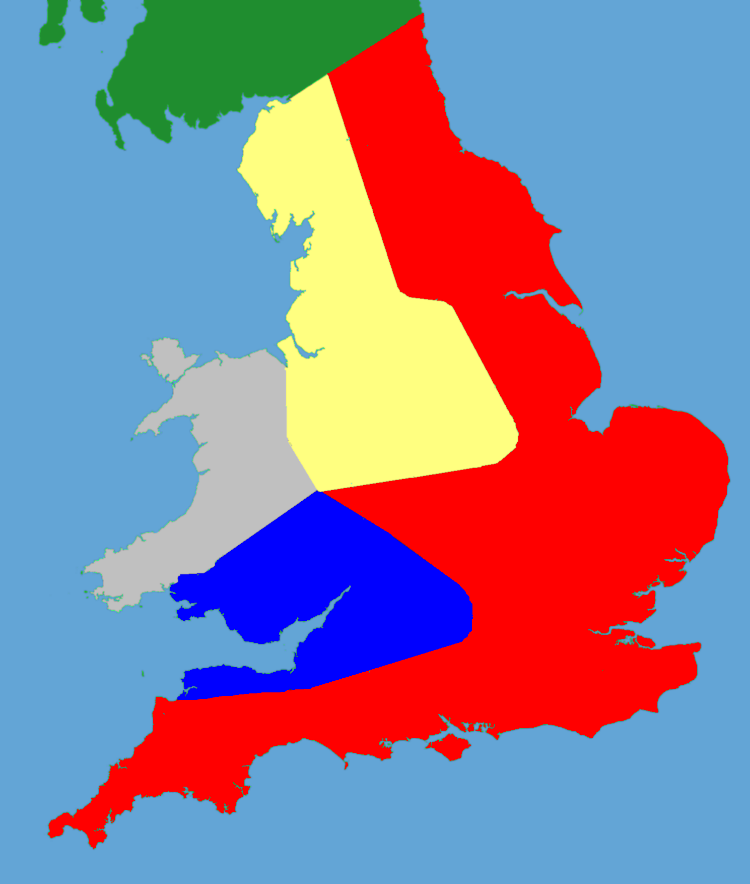
Keywords from Image Description:
Political map of England . political map of southern Britain in drawn from data in Jim Bradbury's book Stephen and Matilda Original file was blank locator map for Great Britain The idea is to superimpose Image dotgb svg at the appropriate point See Template GBthumb for code to do this These two images can replace any locator map