Related Images

Download:
| Tiny | 157x128 | View | Download |
| Small | 315x256 | View | Download |
| Medium | 631x512 | View | Download |
| Large | 1262x1024 | View | Download |
| Original | 3000x2433 | View | Download |
This image was acquired from
wikimedia. It was marked as Public Domain or CC0 and is free to use. To verify, go to the source and check the information there.
Looking for more info about this image?
Try a Google Reverse Image Search for it.
Try a Google Reverse Image Search for it.
Keywords from Image Description:
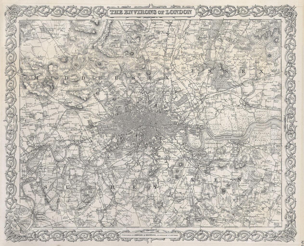
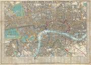
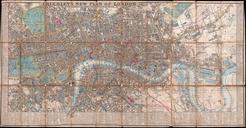
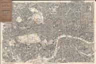
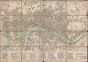
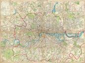
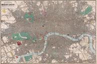
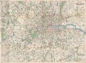
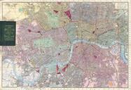
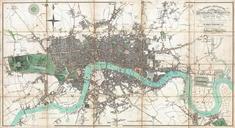
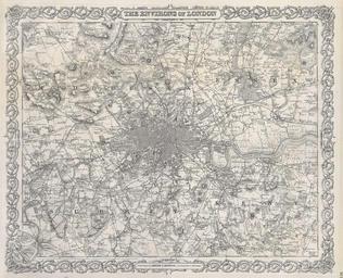
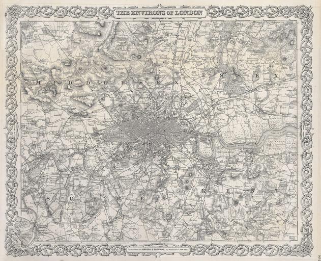
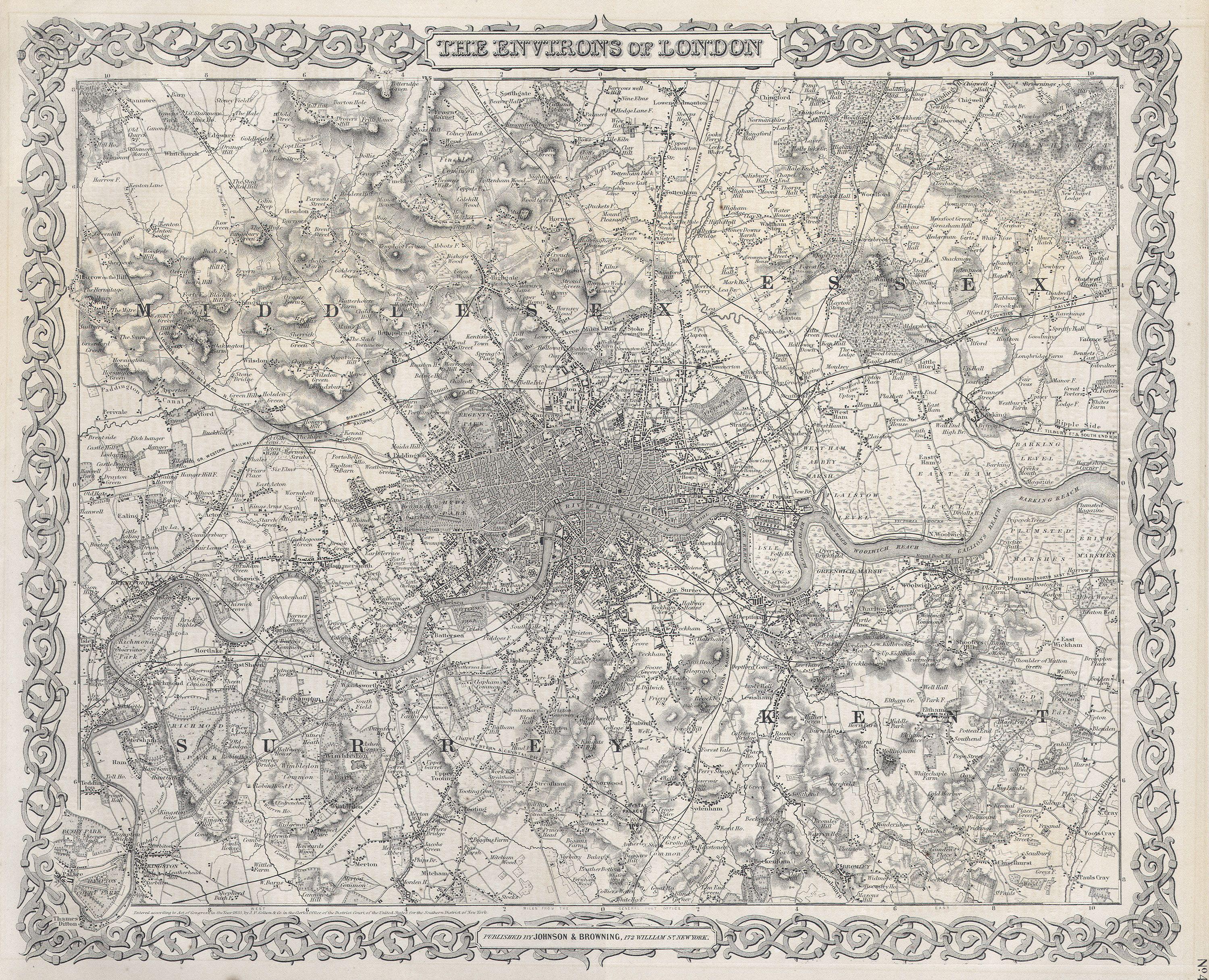
Colton Map or Plan of London England Geographicus Londonc. This is superb map of London and the immediate vicinity Includes parts of Surrey Kent Middlesex and Essex Extends north to Southgate east to Chadwell Heath south to Kingston Mitcham and Bromley and west to Harrow and Isleworth on scale of of an inch to the mile The