
Related Images

Download:
| Tiny | 148x128 | View | Download |
| Small | 297x256 | View | Download |
| Medium | 595x512 | View | Download |
| Large | 1190x1024 | View | Download |
| Original | 6000x5160 | View | Download |
This image was acquired from
wikimedia. It was marked as Public Domain or CC0 and is free to use. To verify, go to the source and check the information there.
Looking for more info about this image?
Try a Google Reverse Image Search for it.
Try a Google Reverse Image Search for it.
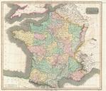
Keywords from Image Description:
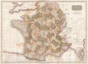
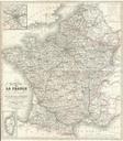
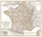
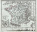
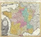
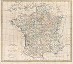
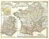
Thomson Map of France Geographicus Francet. This hand colored map is steel plate engraving dating to by the important English mapmaker John Thomson It depicts France divided into its color coded departments Thomson maps are known for their stunning color awe inspiring size and magnificent detail Thomson work including this map