
Related Images

Download:
| Tiny | 148x128 | View | Download |
| Small | 296x256 | View | Download |
| Medium | 592x512 | View | Download |
| Large | 1184x1024 | View | Download |
| Original | 5000x4324 | View | Download |
This image was acquired from
wikimedia. It was marked as Public Domain or CC0 and is free to use. To verify, go to the source and check the information there.
Looking for more info about this image?
Try a Google Reverse Image Search for it.
Try a Google Reverse Image Search for it.
Keywords from Image Description:
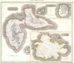
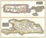
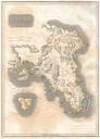
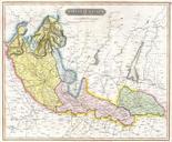
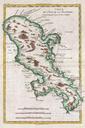
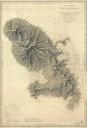
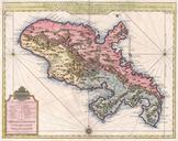
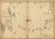
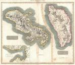
Thomson Map of Martinique and Dominica West Indies Geographicus MartiniqueDominicathomson. fine example of John Thomson's stunning map of the West India islands of Dominica and Martinique Divided into two sections this map offers spectacular detail of these two picturesque islands Both sections offer detail the level of individual