Related Images


Download:
| Tiny | 151x128 | View | Download |
| Small | 303x256 | View | Download |
| Medium | 607x512 | View | Download |
| Large | 1215x1024 | View | Download |
| Original | 5000x4212 | View | Download |
This image was acquired from
wikimedia. It was marked as Public Domain or CC0 and is free to use. To verify, go to the source and check the information there.
Looking for more info about this image?
Try a Google Reverse Image Search for it.
Try a Google Reverse Image Search for it.
Keywords from Image Description:
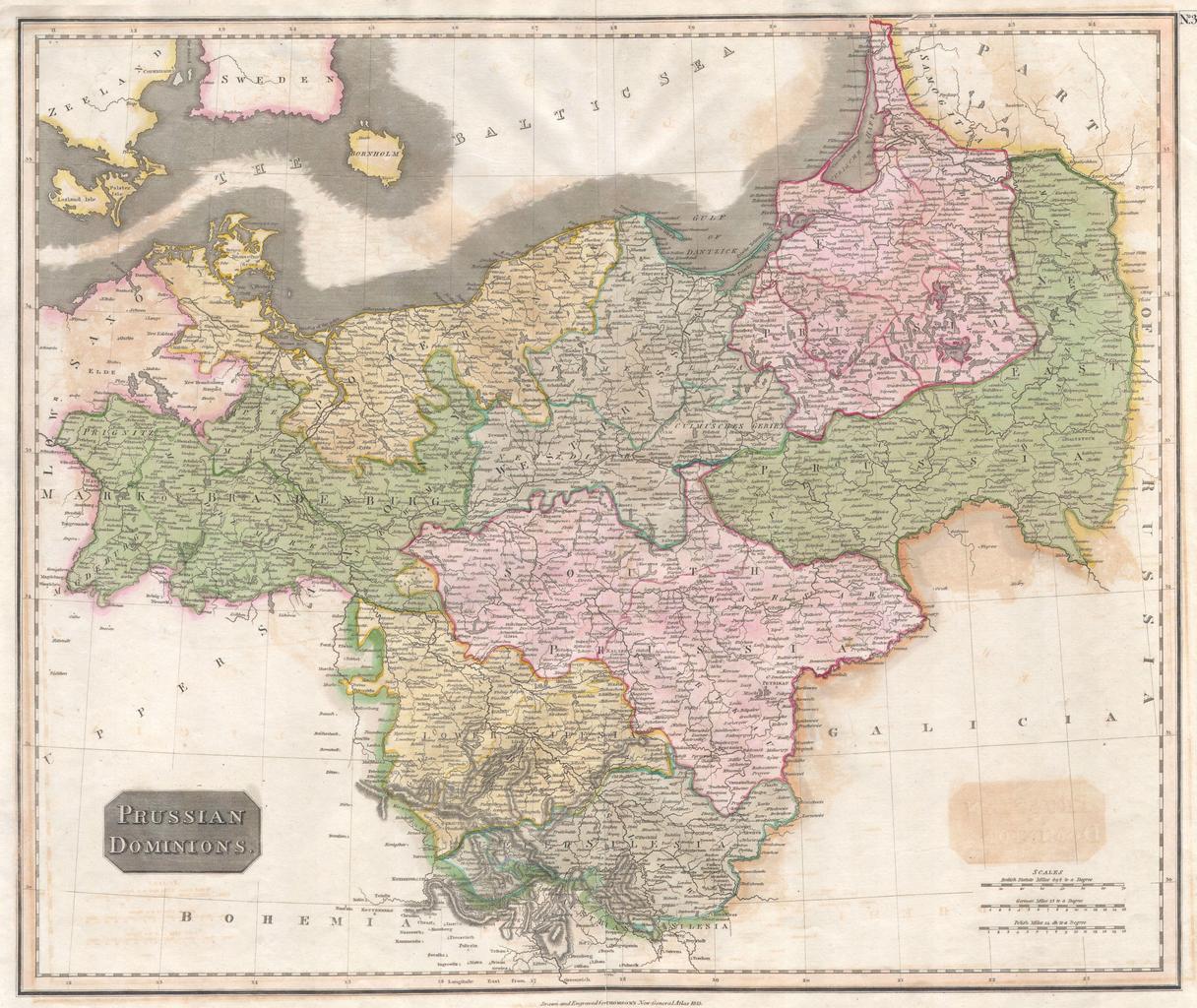
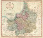
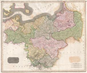
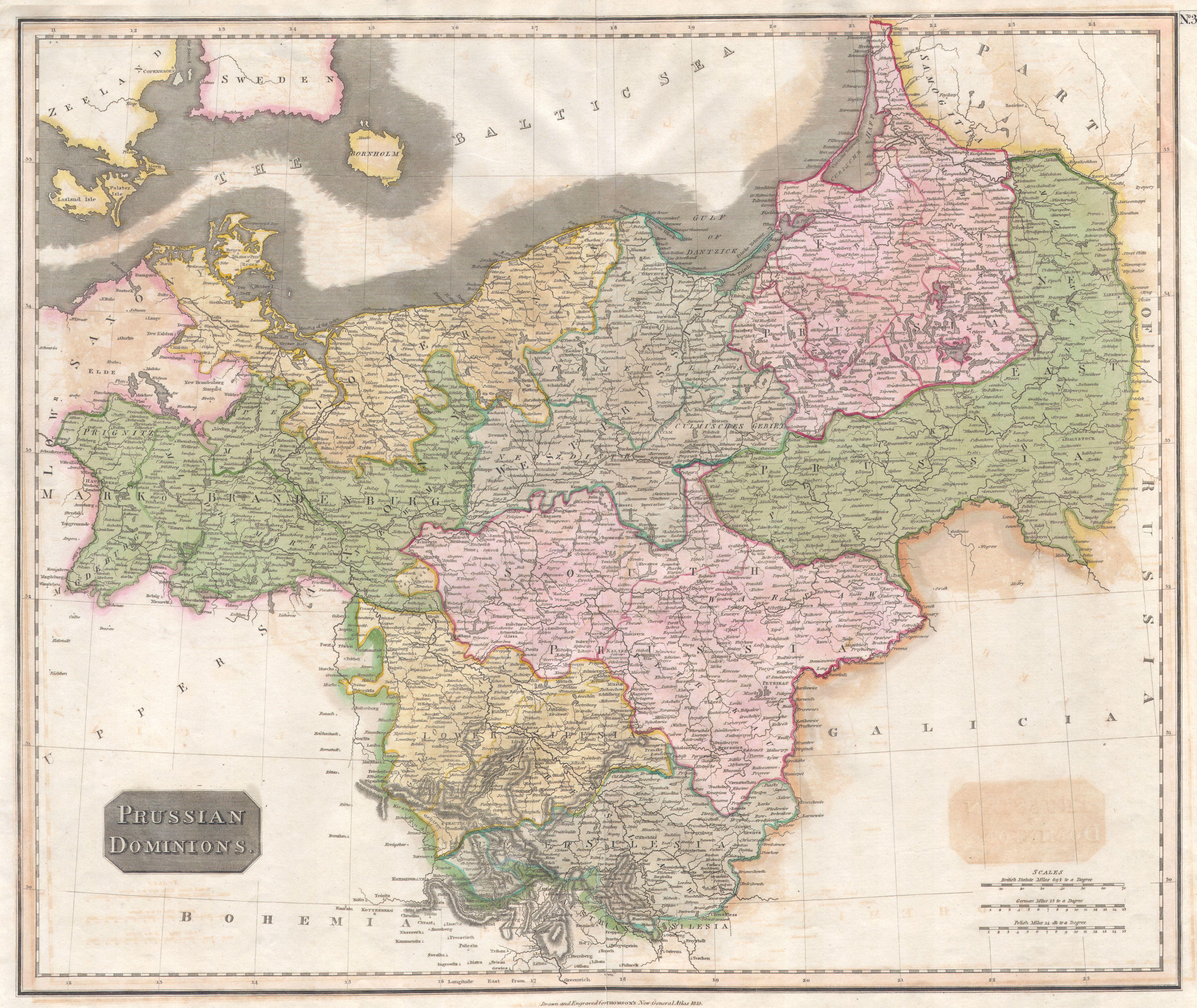
Thomson Map of Prussia Germany Geographicus Prussiat. This hand colored map is steel plate engraving dating to by the important English mapmaker John Thomson It is representation of the Prussia Germany including the districts of Pomerania Brandemburg Prussia and Silesia dated Size in object history credit line accession number