
Related Images


Download:
| Tiny | 91x128 | View | Download |
| Small | 182x256 | View | Download |
| Medium | 365x512 | View | Download |
| Large | 730x1024 | View | Download |
| Original | 3000x4204 | View | Download |
This image was acquired from
wikimedia. It was marked as Public Domain or CC0 and is free to use. To verify, go to the source and check the information there.
Looking for more info about this image?
Try a Google Reverse Image Search for it.
Try a Google Reverse Image Search for it.
Keywords from Image Description:
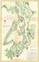
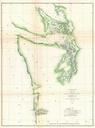
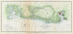
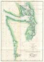
U.S. Coast Survey Map of the Puget Sound and Washington Coast Geographicus PugetSounduscs. delicately handcolored US Costal Survey map or triangulation chart of Washington State from Tillamook Head to Vancouver Island including Juan De Fuca Strait the Puget Sound Olympia and Seattle with numerous triangulation lines Produced