Related Images


Download:
| Tiny | 155x128 | View | Download |
| Small | 311x256 | View | Download |
| Medium | 623x512 | View | Download |
| Large | 1246x1024 | View | Download |
| Original | 5000x4106 | View | Download |
This image was acquired from
wikimedia. It was marked as Public Domain or CC0 and is free to use. To verify, go to the source and check the information there.
Looking for more info about this image?
Try a Google Reverse Image Search for it.
Try a Google Reverse Image Search for it.
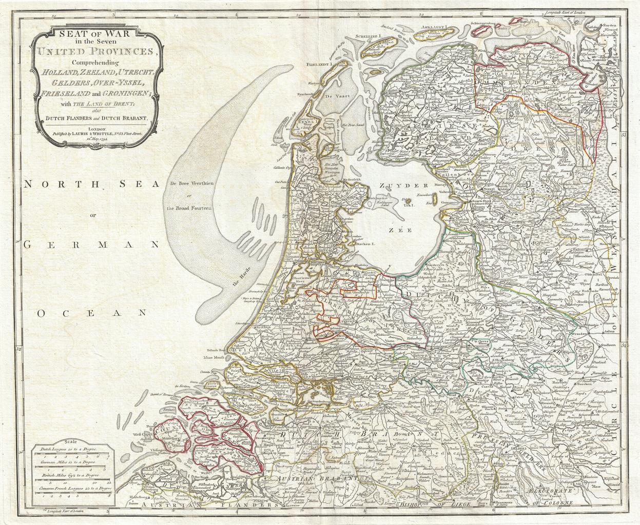
Keywords from Image Description:
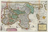
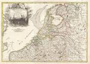
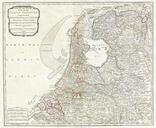
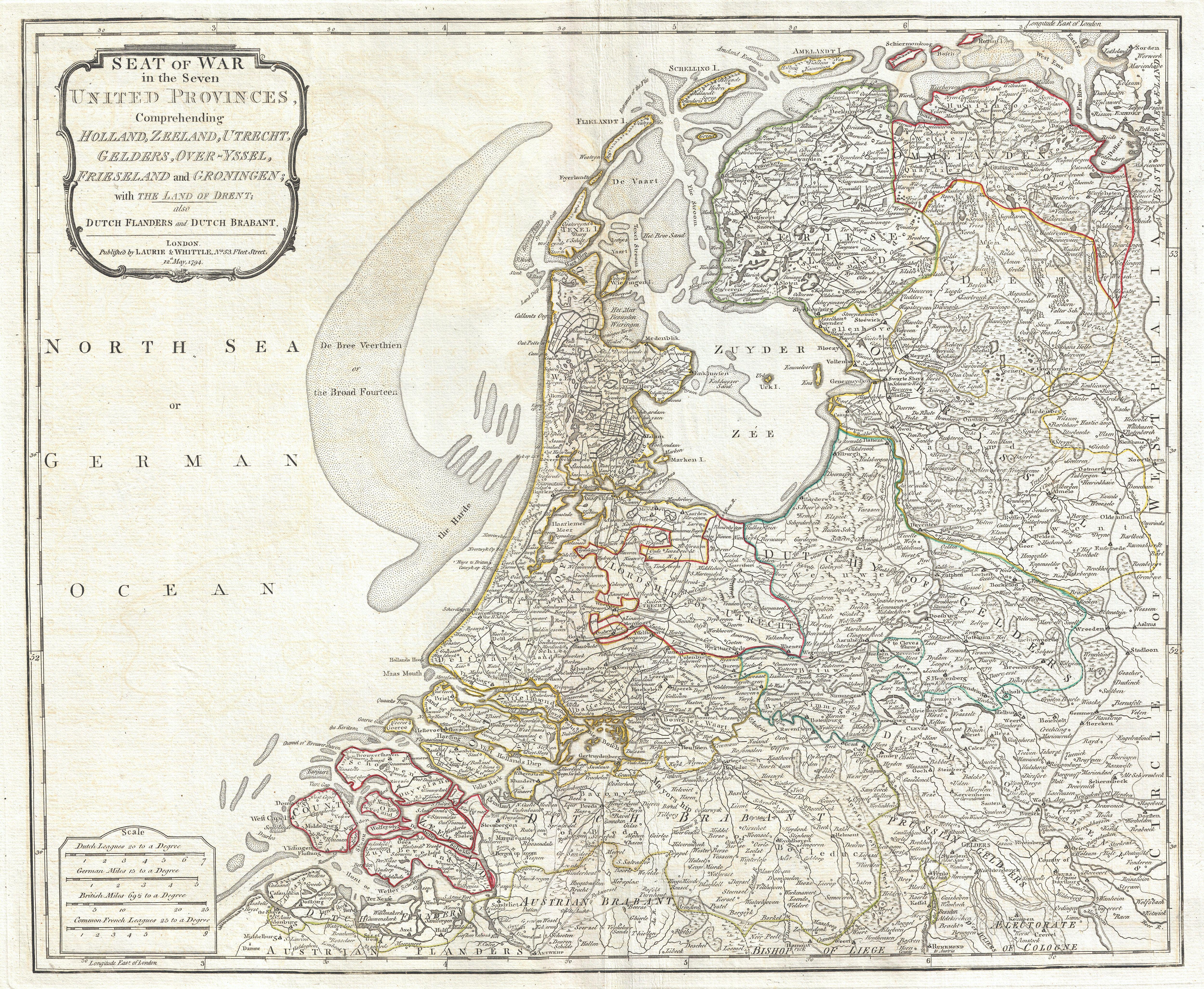
Laurie and Whittle Map of Holland or The Netherlands Geographicus Hollandlauriewhittle. An extraordinary map of Holland or the Netherlands by Laurie and Whittle Covers from Zeeland eastward as far as the Circle of Westphalia north to the mouth of the Ems River and south as far as the Bishopric of Liege Includes the modern day